West Bend to Hartford

We seem to have run out of Native American town names, now that we are 200 miles into our hike…

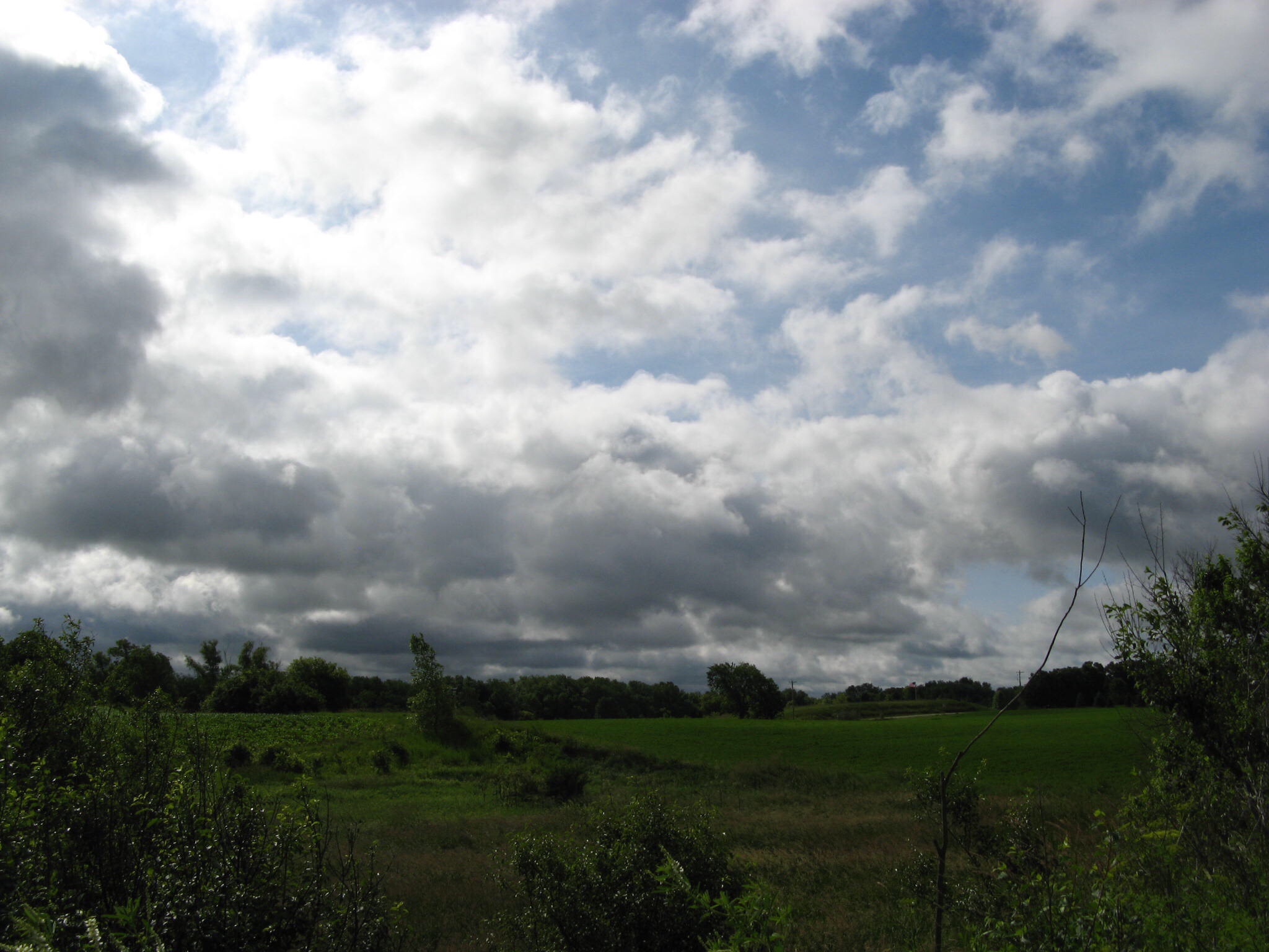
I checked the weather last night, and saw that today would bring afternoon thunderstorms. When I checked again this morning, the forecast included the word severe, as well as dangerous lightning, hail, and possible tornado. Uh oh! We have eleven miles to walk today, and have to get to the Post Office in Slinger.

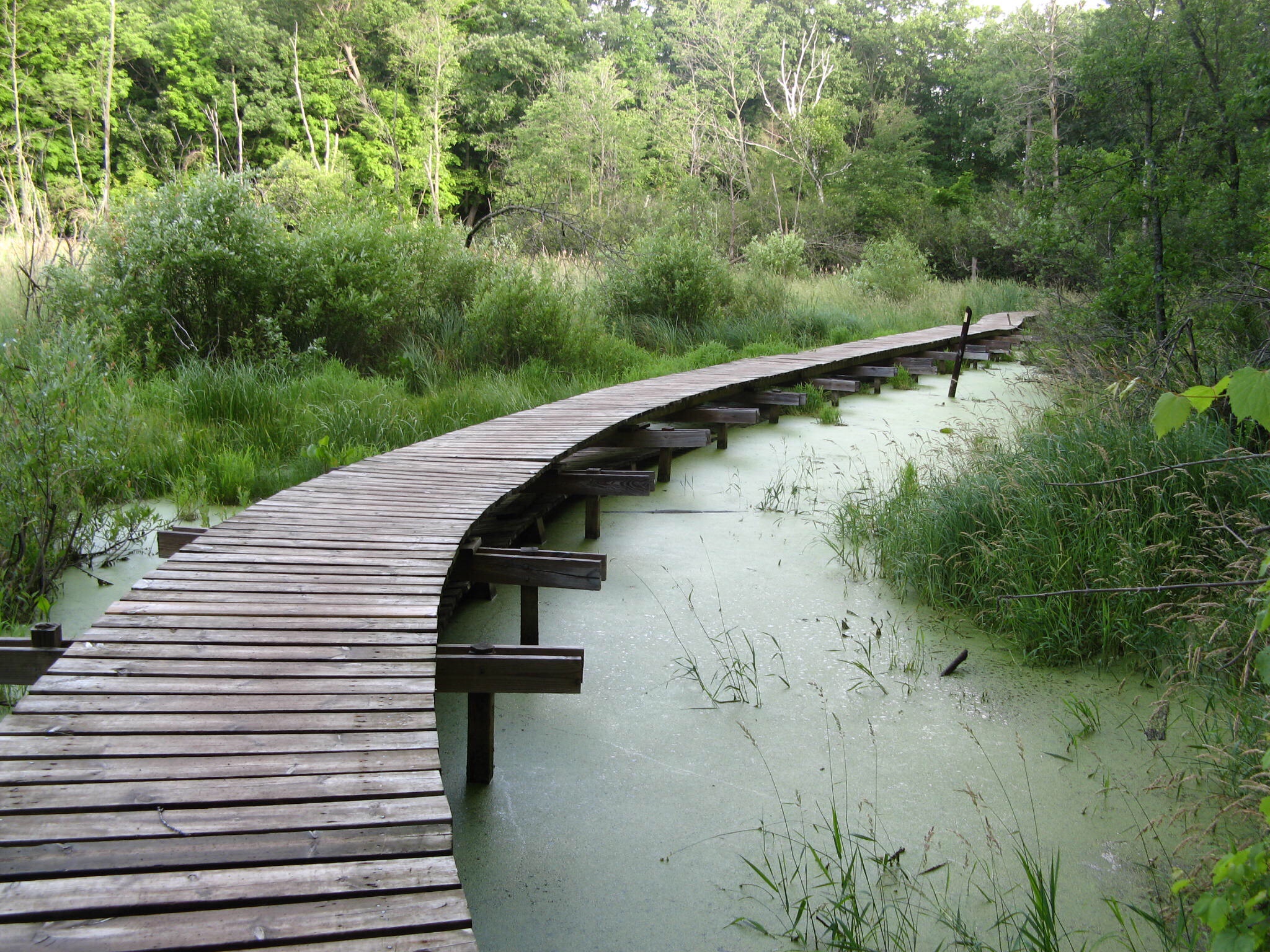
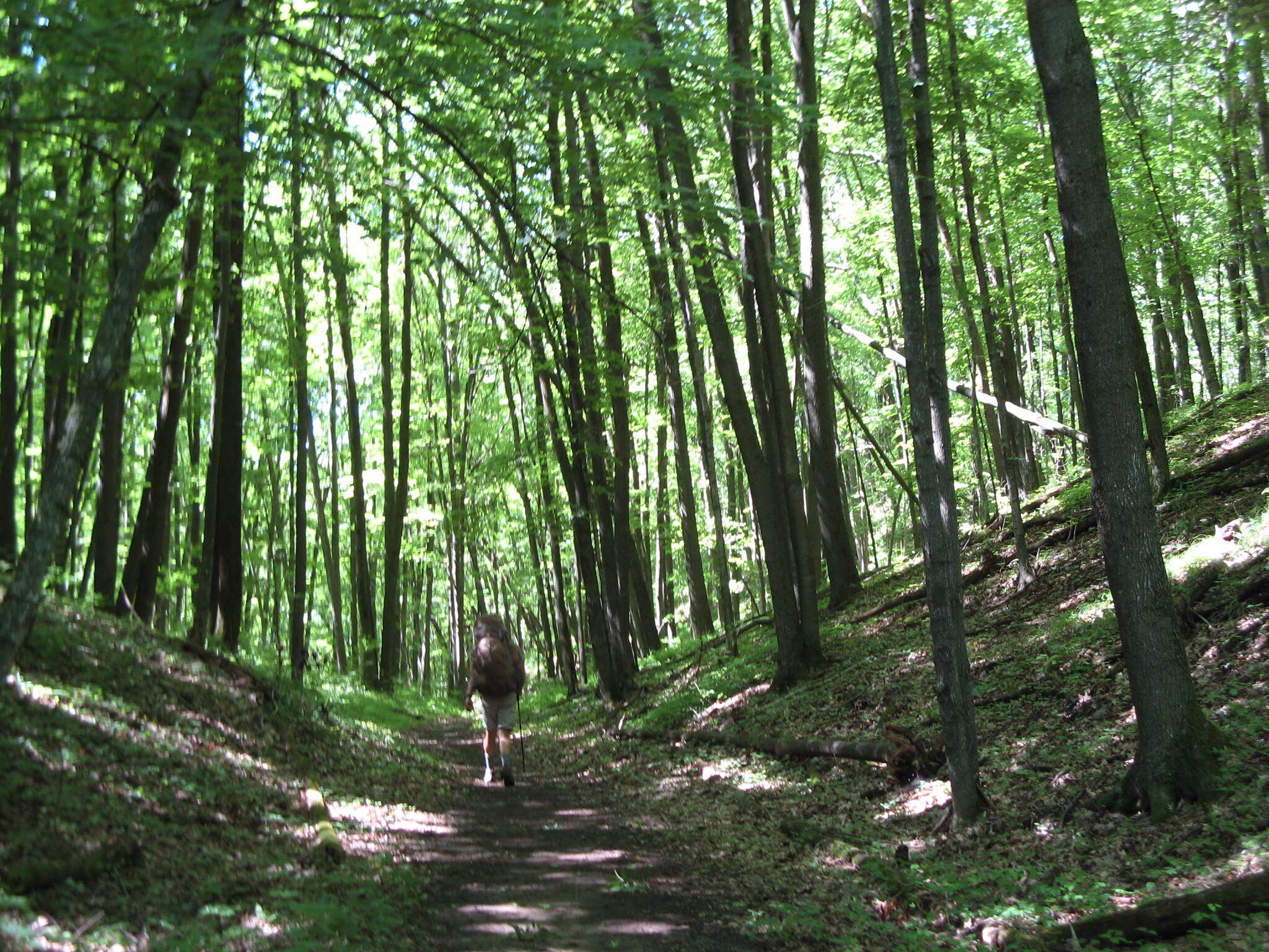
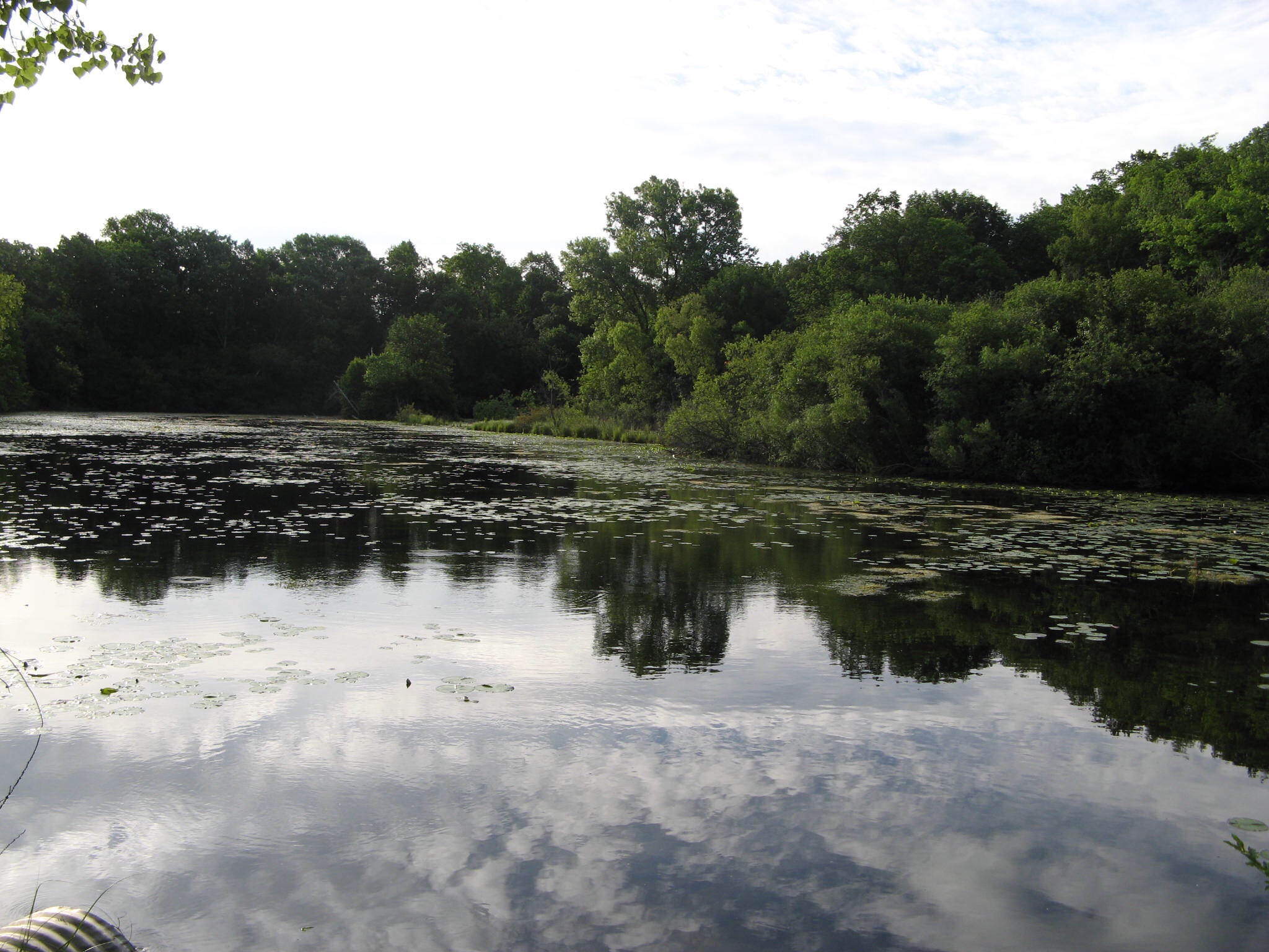
We got up early, and were on the road by 6:45. The sun was shining, but the sky told us there would be change before too long. The West Bend segment took us on a meandering trail along Silver Creek and around Lucas Lake, and included a boardwalk to get us over some of the boggy parts.imageimage
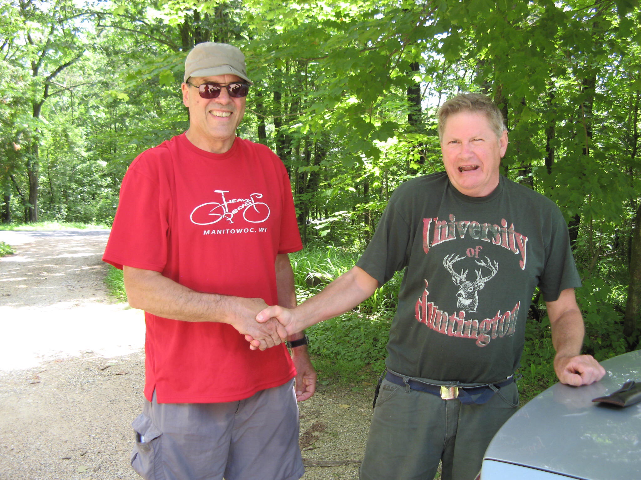
The trail abruptly ended and dumped us out on another road walk – one with no shoulder or safe place to walk. About 8 miles along, one of the Nice People of Wisconsin pulled over and, exclaiming that we did not look like axe murderers, offered us a ride.image
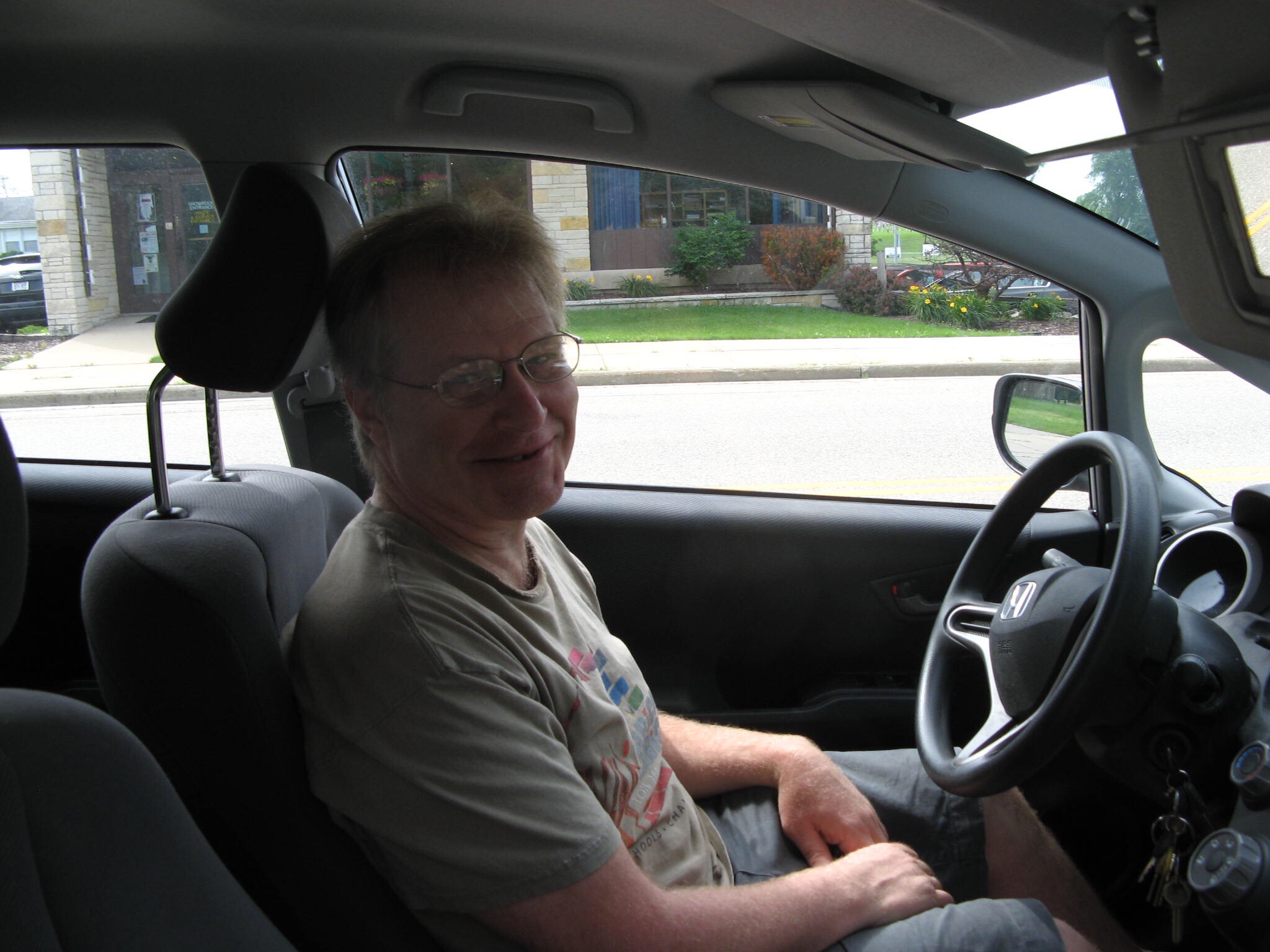
Chris is an archeology professor at the University of Wisconsin, and he was lost, so he said he may as well take us where we wanted to go. I looked up the address he needed on Google Maps, and he drove us into Slinger, where we had mailed ourselves our next bunch of maps, before we left Chesapeake.

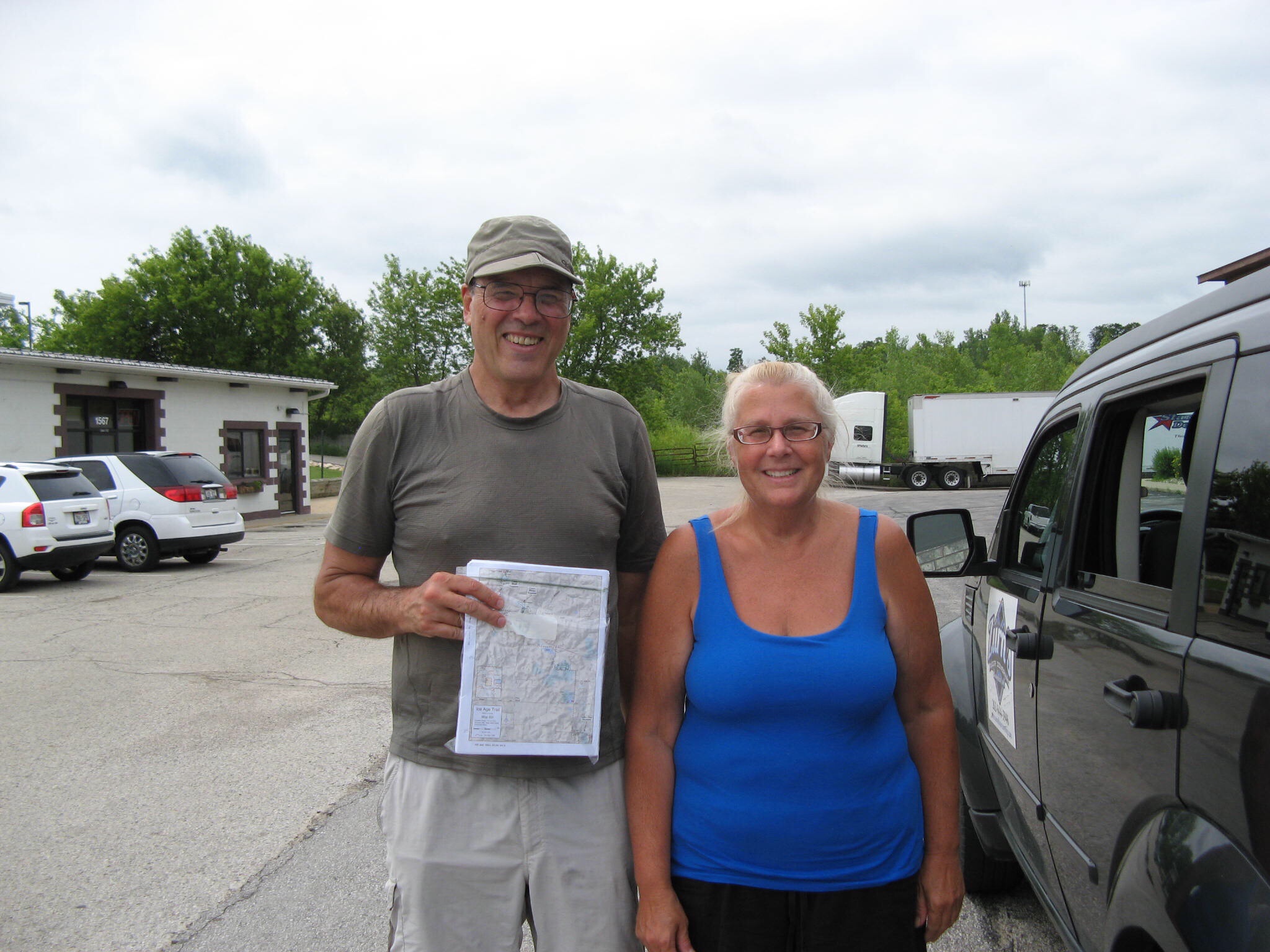
After picking up our envelope, we spent some time answering questions from Curious Townfolk, who we encounter everywhere we go. They want to know where we are from, where we are going, what’s in our packs, what we eat, where we sleep, and if we have a car parked nearby. Jim concluded this session by saying we were on our way to Hartford, if anyone was going that way. One of the ladies immediately offered to drive us there, saying, didn’t we know there was going to be dangerous lightning this afternoon?
image
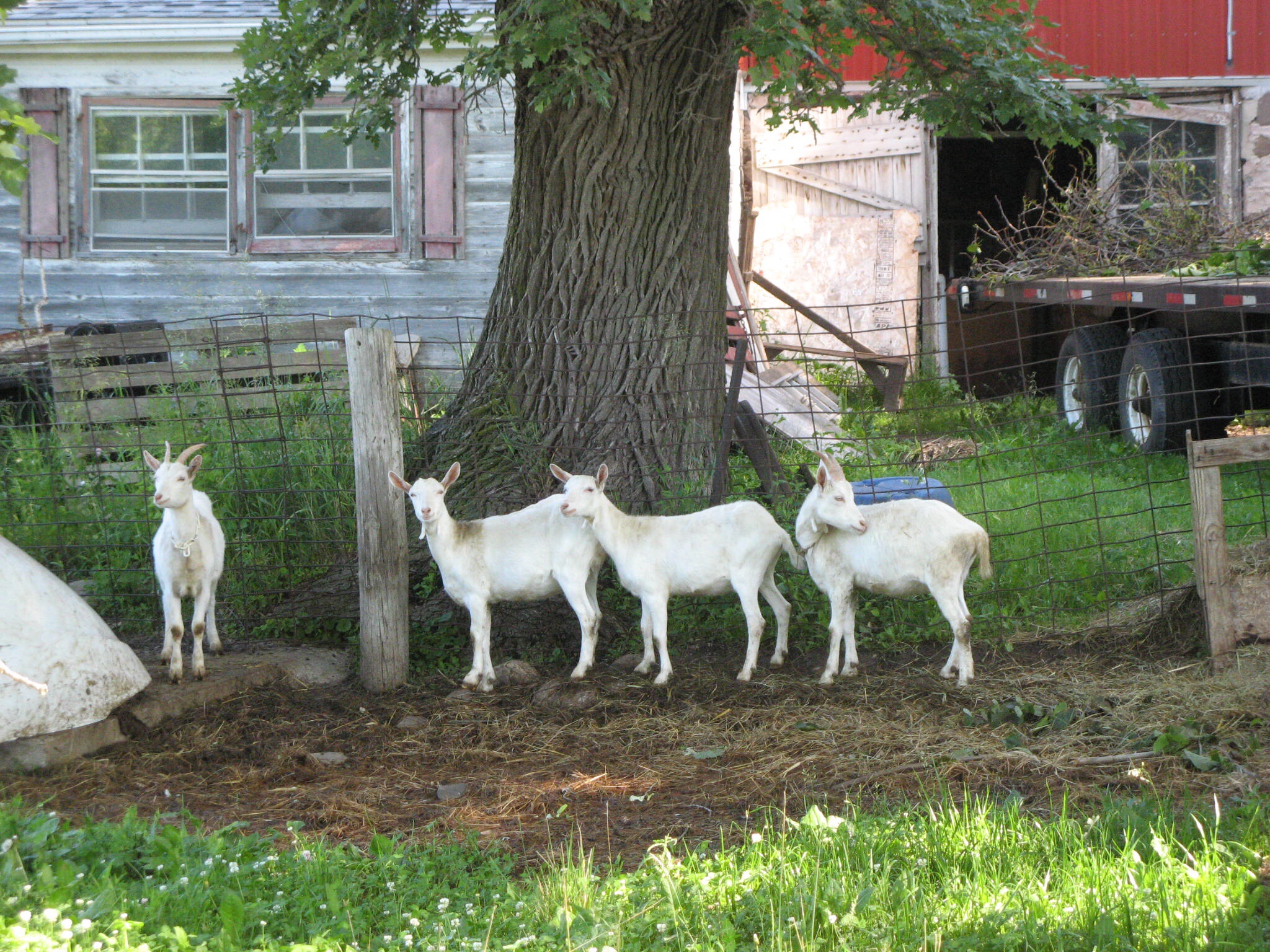
So Deb, grandmother of 13 and owner of a family carpeting company, took us right up to the door of the Super 8 motel, and wished us well. Another Nice Person of Wisconsin!

So here we are, nice and dry, while the rain pours down, the thunder booms and the lightning flashes. We have new maps to read and tomorrow’s hike to plan. If this isn’t nice, I don’t know what is…
Kewaskum to West Bend

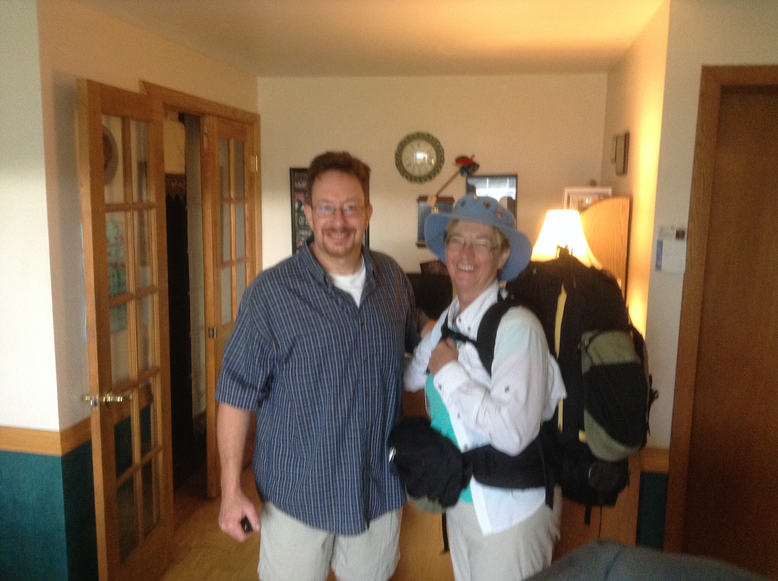
Although we really enjoyed getting to know Gino, the proprietor of the Bonne Belle motel in Kewaskum, it is time to move on. imageWe are just moving one town south, which is either 6 miles by road, or 11 miles on the trail. Of course, we are taking the trail!

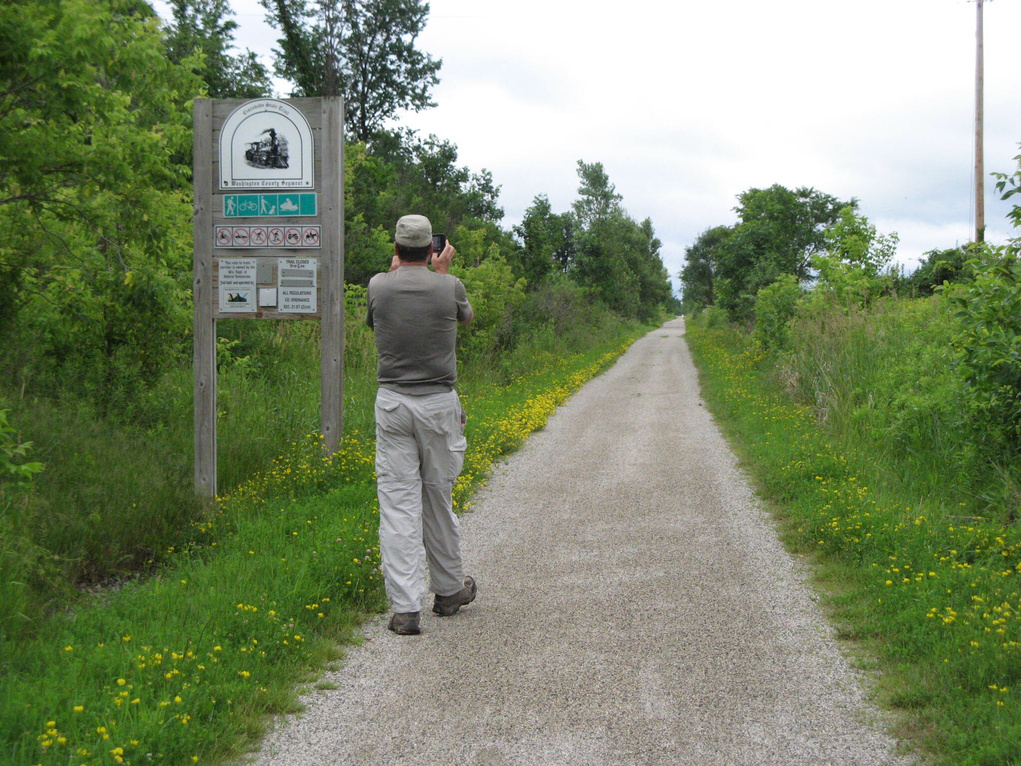
We started out on the Eisenbahn Trail, which is a Rails to Trails conversion. This means that it is straight and flat, as far as the eye can see.image
It had rained overnight, and the sky was pretty spectacular.image
Then we were back on the trail on our way to West Bend, walking through dappled sunlight and practically bug-free!image
In what can only be described as Heaven for Hikers, the trail ended at the highway right in the middle of town, right in front of our hotel, with an Applebee’s and a grocery store right across the street. Now, into the hot tub we go!

Plymouth to Kewaskum

6/24 – As we packed our gear to leave Plymouth, Jim realized that the bag that held our ultralight stove, lighter and pen knife was nowhere to be found. After a frantic search, followed by a methodical search that included sifting through the trash and moving all the furniture, we added two miles to our day by hoofing it down to the Walmart on the edge of town to see if we could resupply. How lucky we were to have this happen in the first town we’ve been in big enough to have a Walmart! In an hour, we were back on track. Our new stove isn’t as light, but will get the job done.

We had a 7 mile road walk to get back on the IAT, the day was warm and sunny, and the roads all seemed to go uphill. Despite our best thumbs-out effort, there was very little traffic and no one seemed inclined to give us a lift. Just as we sweated our way to the top of a big hill, we spotted a nice old gentleman waiting at his mailbox with two bottles of cold water! He apologized that he hadn’t stopped when he passed us on the road because his back seat was full of parcels and dog, but now that the groceries were put away, could he give us a lift? He took us the last two miles to the trailhead, and showed us where to fill our canteens. Wisconsin People Are The Nicest! image

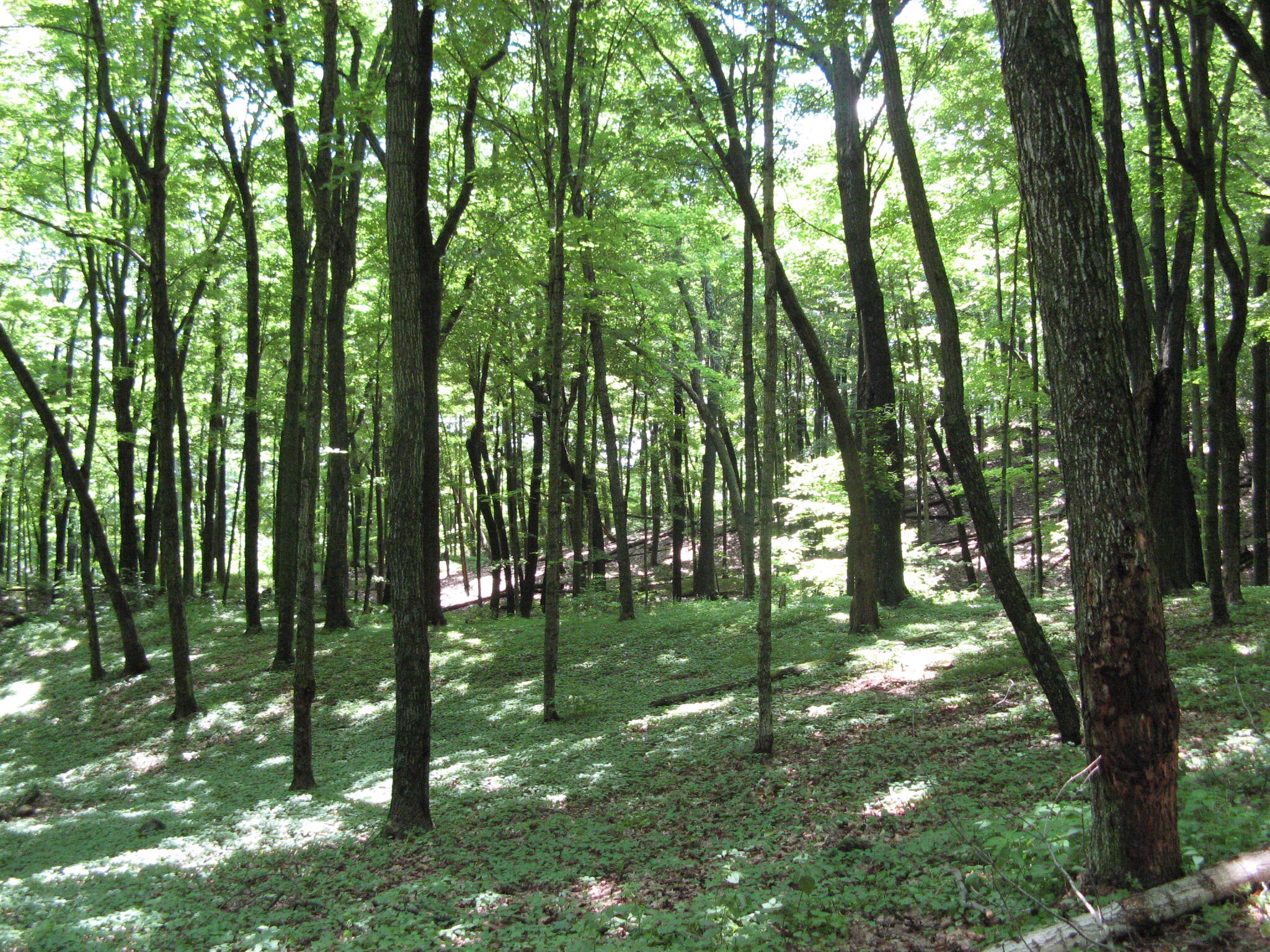
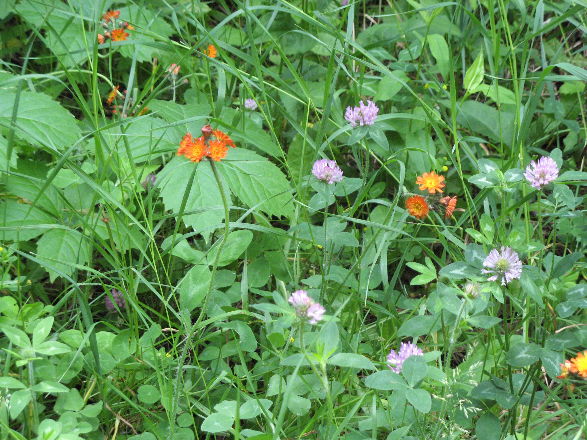
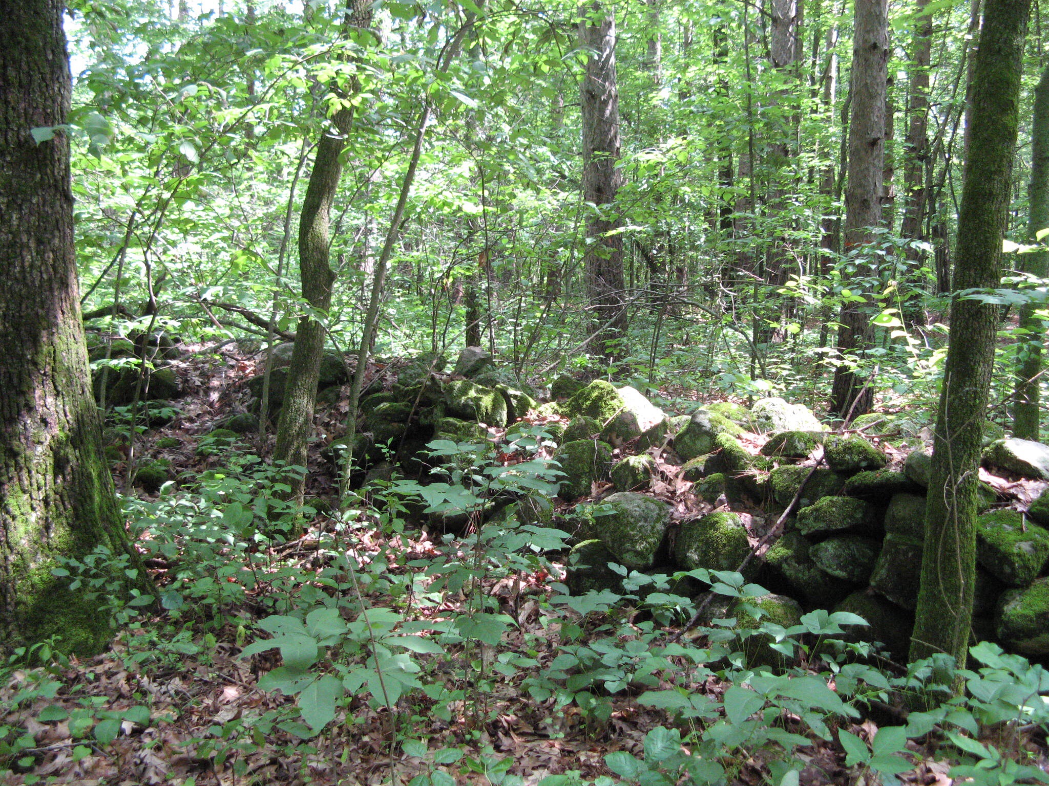
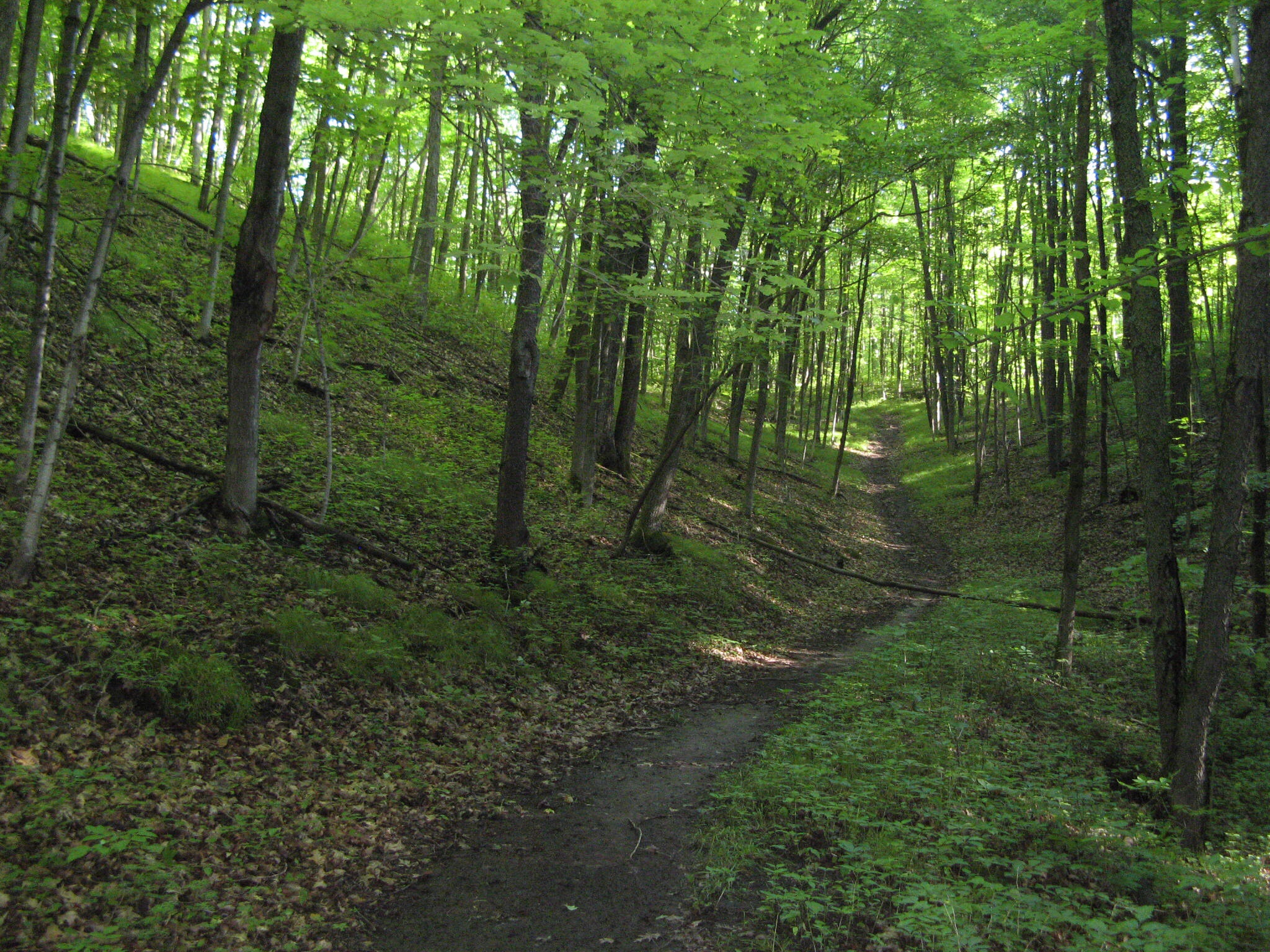
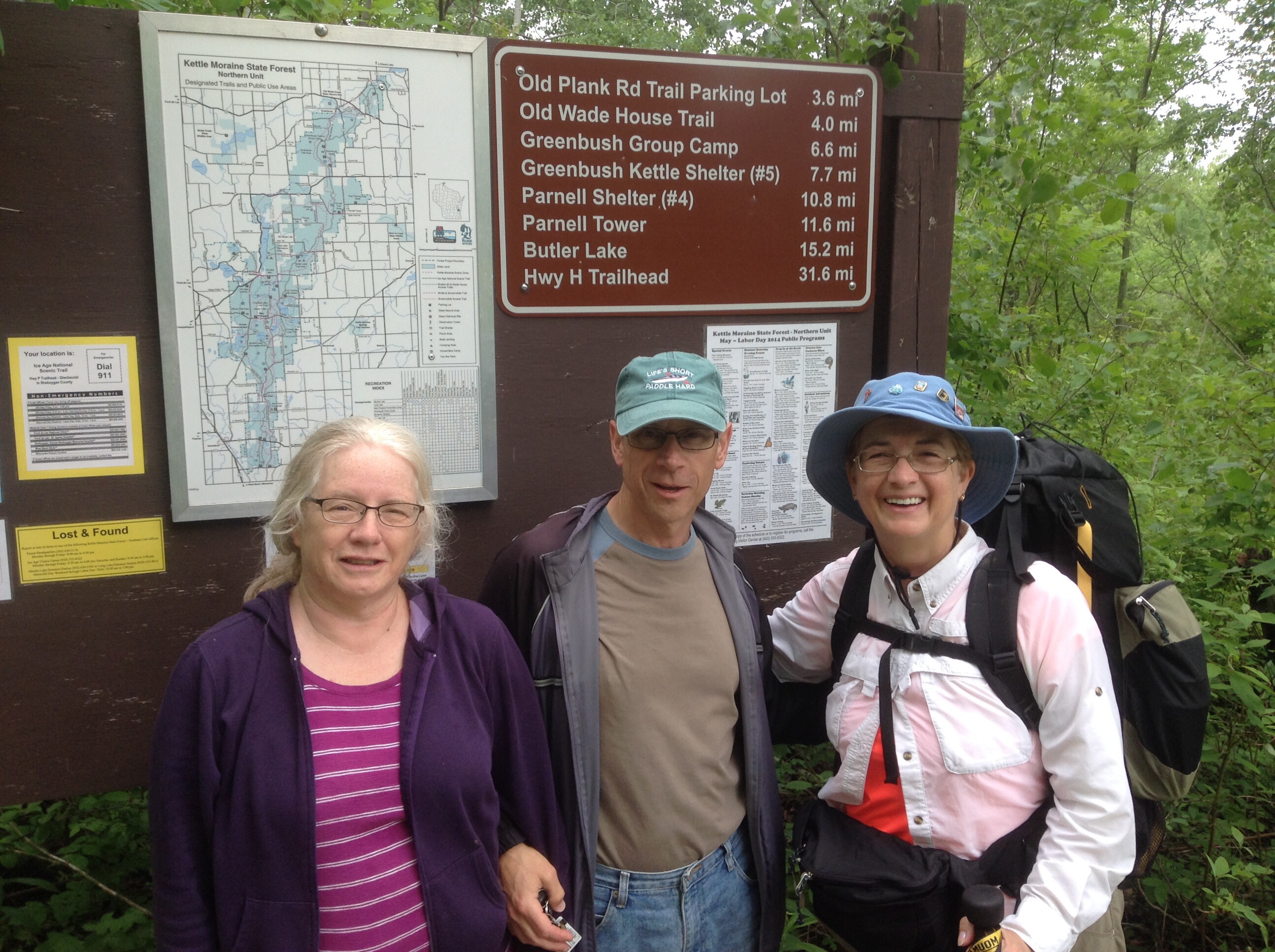
Now we were back in the Northern Kettle Moraine State Forest, with 30 miles to the next town, so we planned to camp out for two nights and average 10 miles a day. The challenges: this section has lots of hill climbing, there are few places level enough to pitch a tent, and our packs are heavier with three days worth of food, and as much water as we can carry. The mosquitoes were evident, but not as voracious as those we encountered further north. The payoff: some of the prettiest meadow and forest trails we’ve seen.imageimageimage

The first afternoon poured down rain, which not only soaked us and our stuff, but also turned the trail into a stream in many places. So much for my hope of keeping my feet dry! We slept cozy in our little tent, but had to get up in the morning and put wet clothes, wet socks and wet boots back on. Yuck!

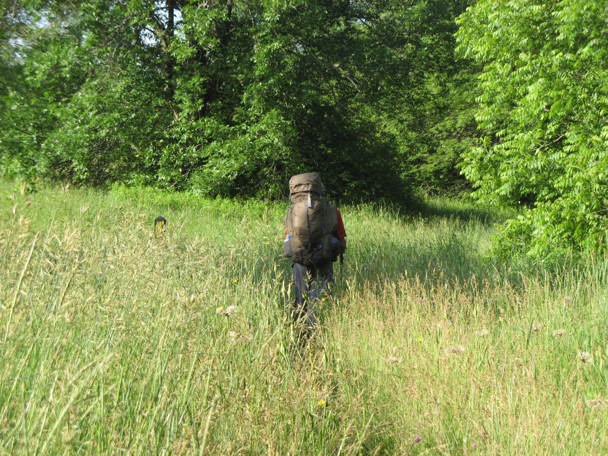
The second day was clear, but we were either walking in deep forest shade, or crashing through waist-high meadow grasses, that got us wet all over again, so we didn’t really get a chance to dry out.imageimage That night, the temperature got so low that I had to get up in the middle of the night and put on my long johns (thank goodness there is no picture of that!)

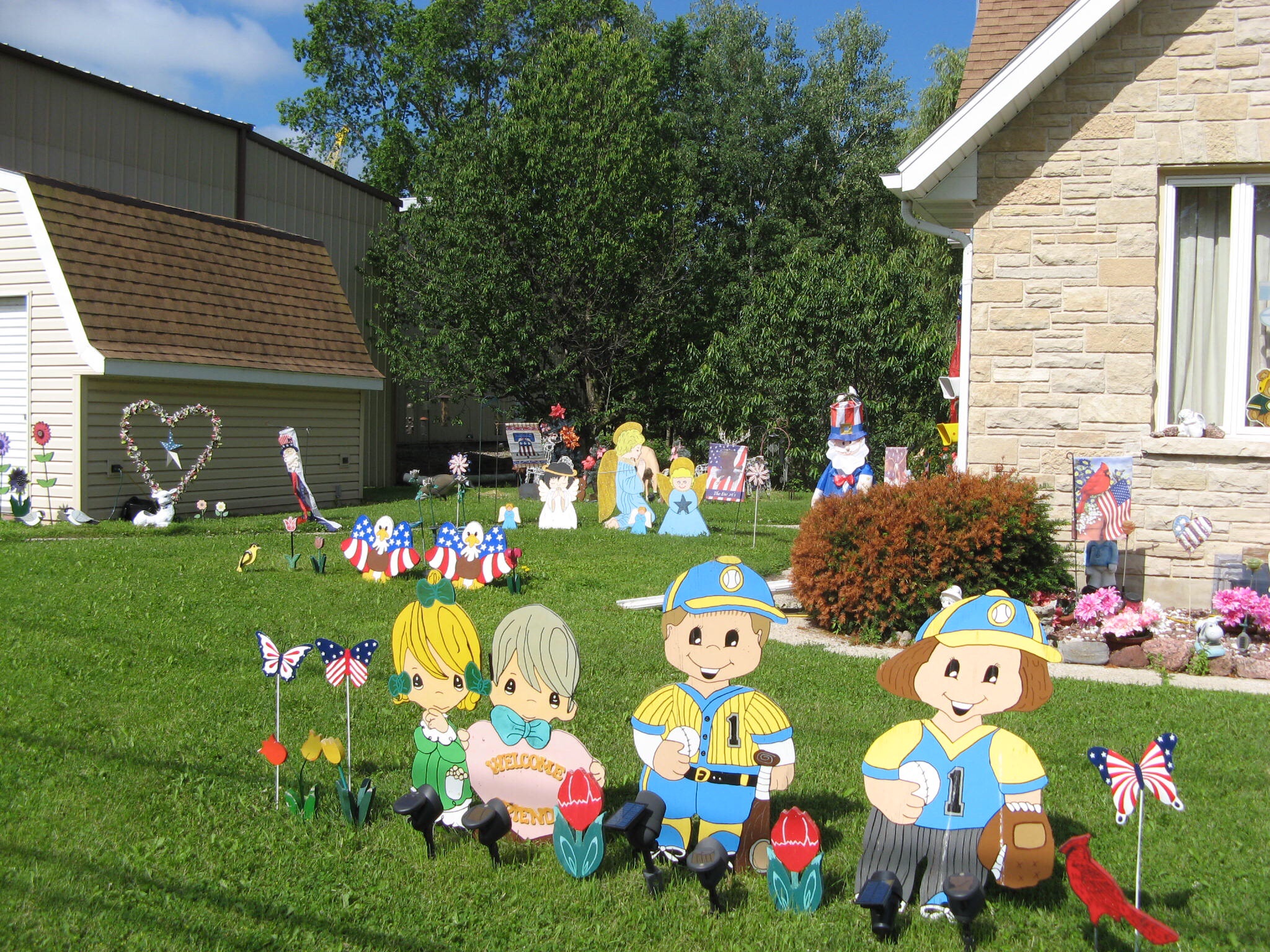
The third day dawned sunny and clear. I was so cold that I refused Jim’s recommendation to put my wet socks back on, figuring that the trails must surely be drier today… My boots were soaked in ten minutes, and now both pairs of socks needed washing. Always listen to Jim! Because we did about 13 miles yesterday, we had an easy walk into the town of Kewaskum, and got in by lunchtime to the town’s only lodging, the Bonne Belle Motel. Time for a shower! imageThe first Kewaskum residents to greet us. imageThe Kewaskum yard kitsch award!

North Kettle Moraine State Forest to Plymouth

6/22 – although there is still plenty of forest ahead, we left the Ice Age Trail this morning to walk the Plymouth Trail into the town of Plymouth. The fine folks of this area laid a trail that runs parallel to, but not near, the highway, so we can walk in safety and comfort (unlike some other connectors we’ve been on), and provided benches, water, and even a port-a-potty. Thank you, people of Plymouth!

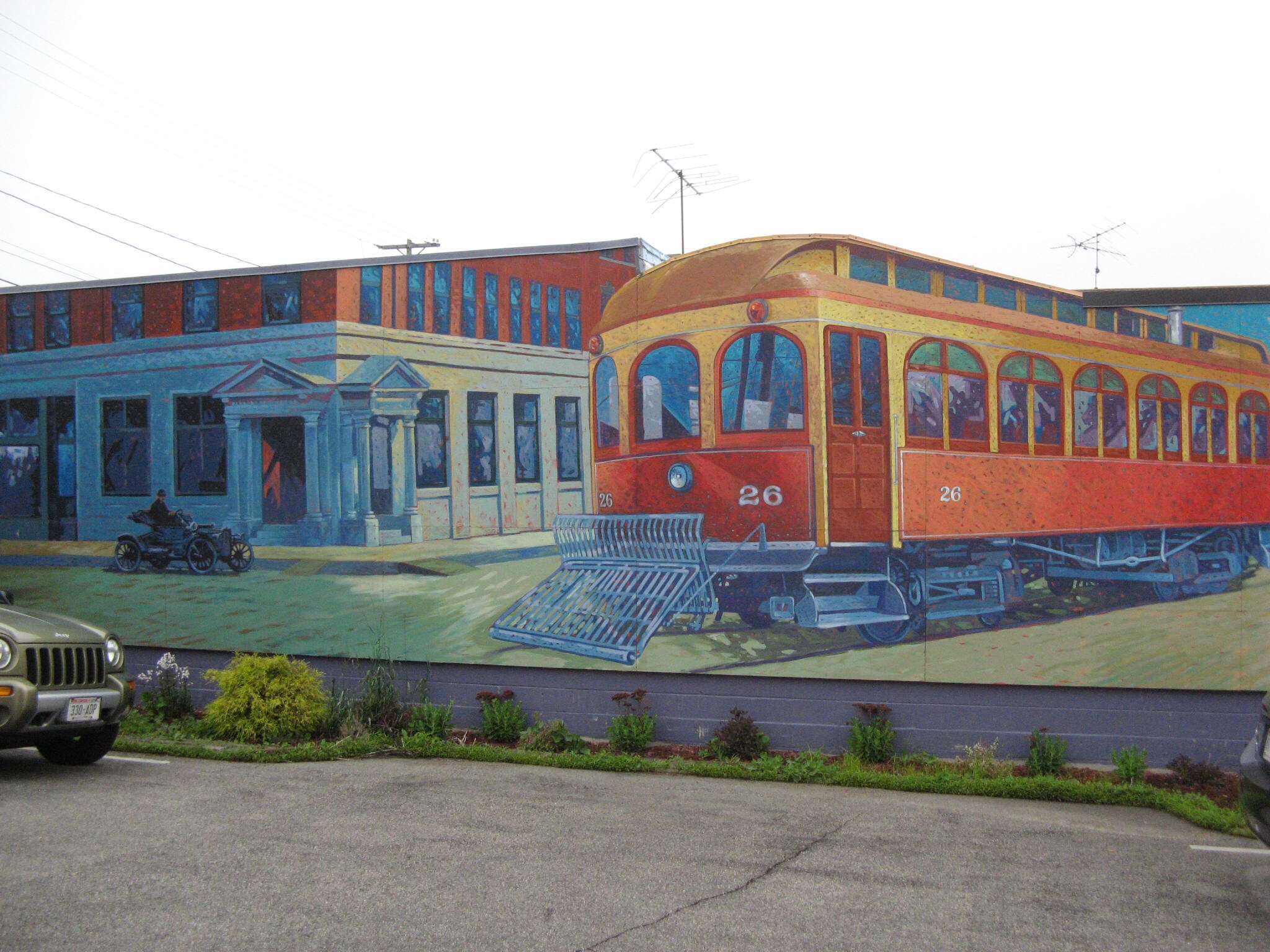
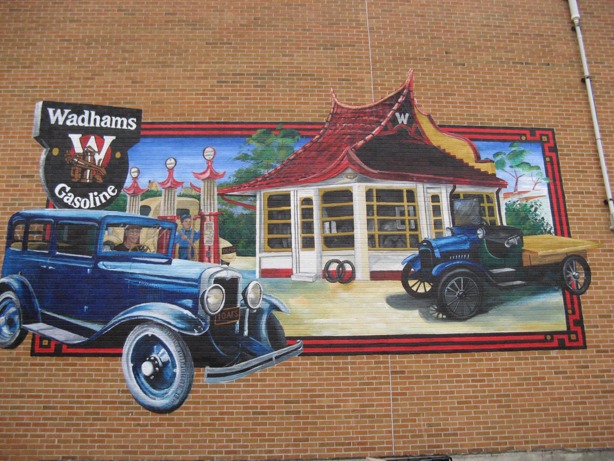
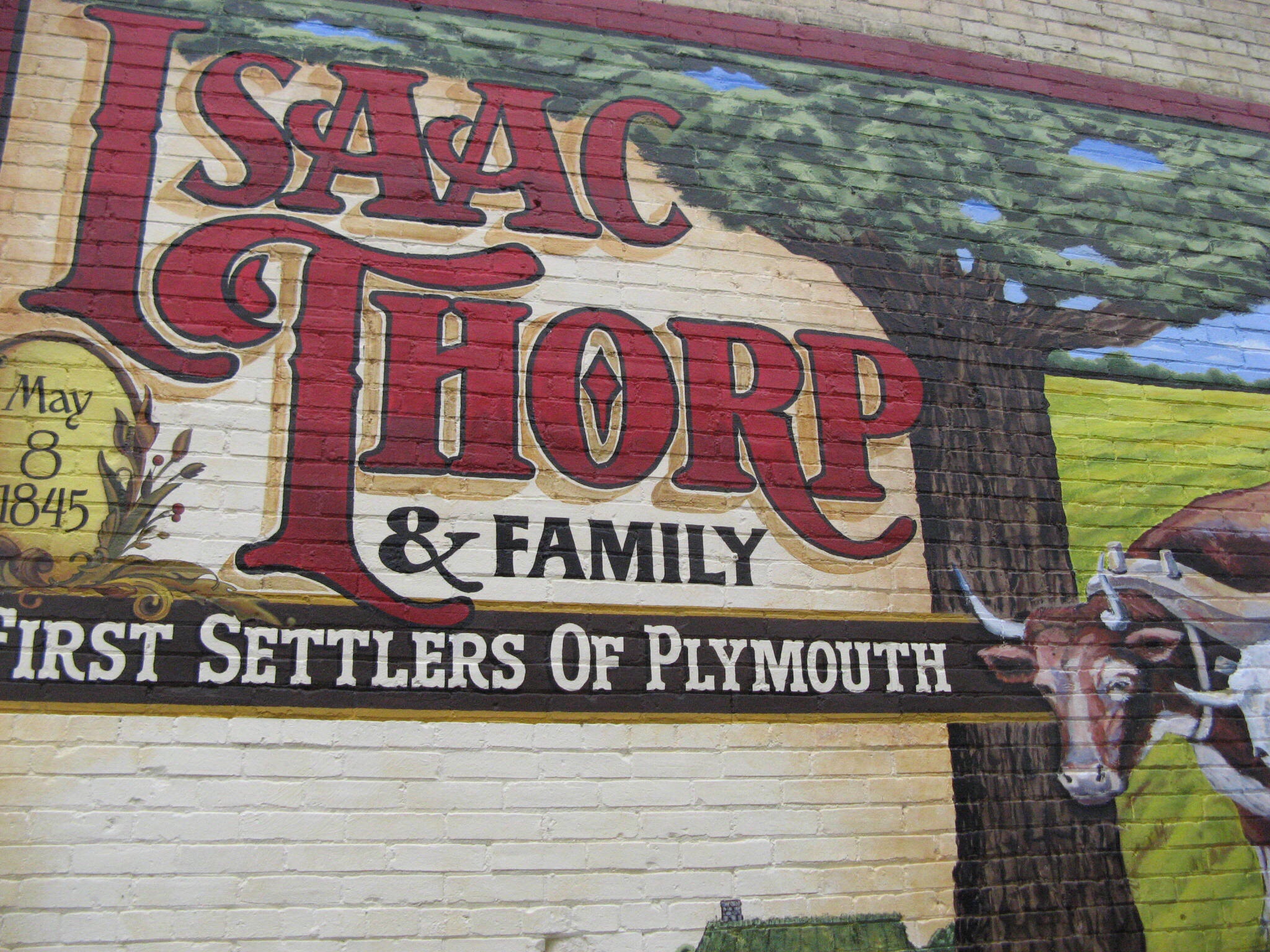
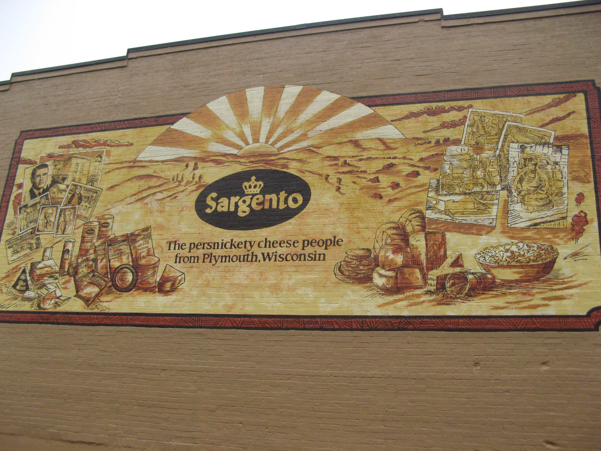
If you don’t share my love of signs, you can skip the rest of this post. Plymouth has some of the best hand-painted Walldog signs we’ve seen yet!imageimageimageimageimage

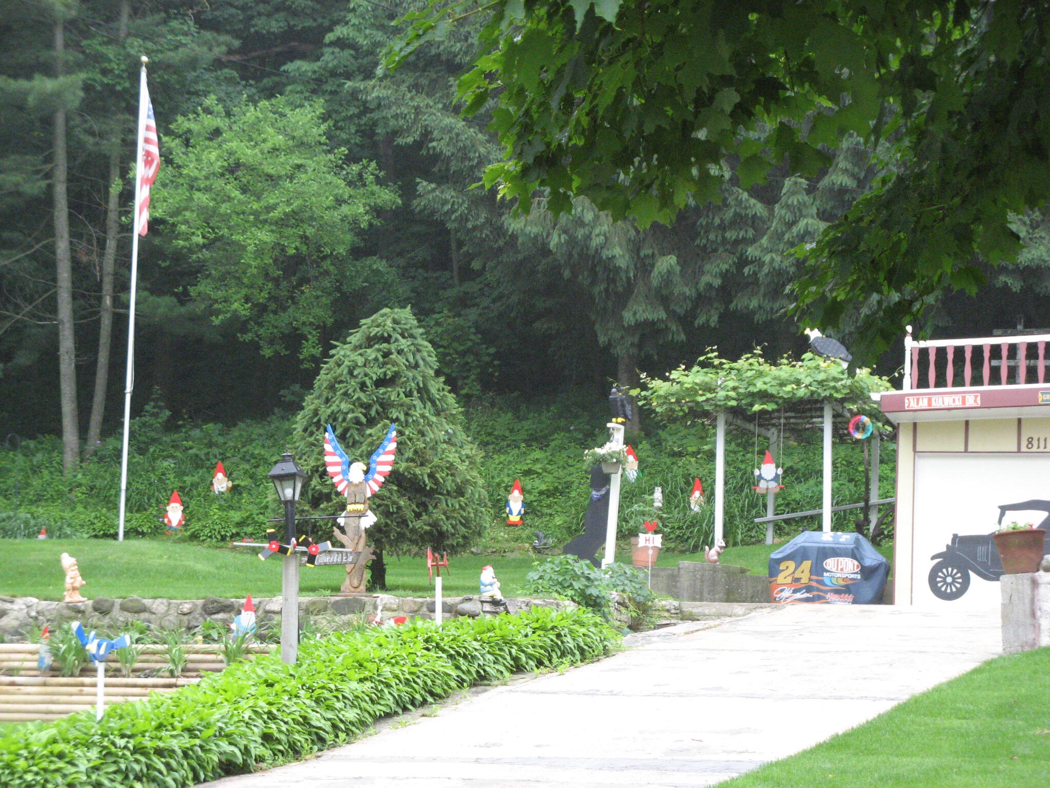
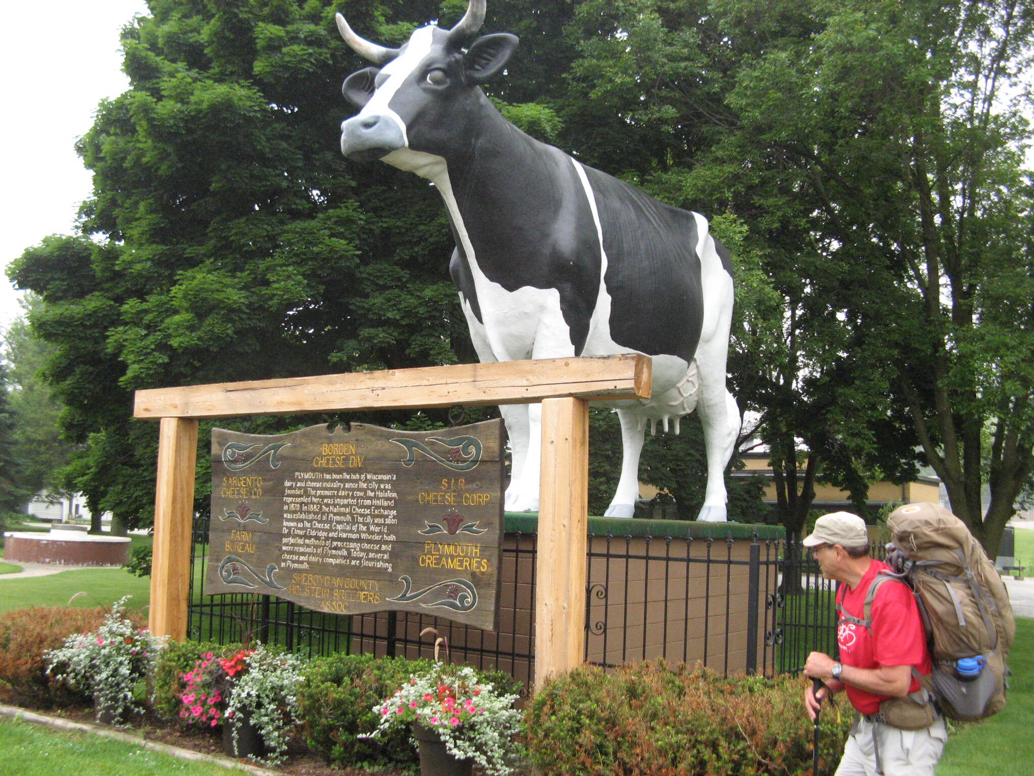
We also saw some interesting yard kitsch, and a super-sized Holstein cow:
imageimage
When we got to our hotel and activated the wi-fi, I discovered that Betty the librarian (or Information Professional, as we prefer to be known these days) had sleuthed out this blog address, became a follower overnight, and reached out to offer assistance – librarians are the most resourceful folks ever! I may rename this blog The Nice Folks of Wisconsin.

One of the hot spots to visit in Plymouth is Chester’s, an old fashioned drive-in where the wait staff brings your food out to your car, and hangs a tray on your window. We were amazed at the number of customers that were lined up for the experience. Although we couldn’t share the full experience due to lack of car, we did walk up to order Chester’s signature root beer float and some of Wisconsin’s famous deep fried cheese curds. Our review: two thumbs up!image

Elkhart Lake to North Kettle Moraine State Forest

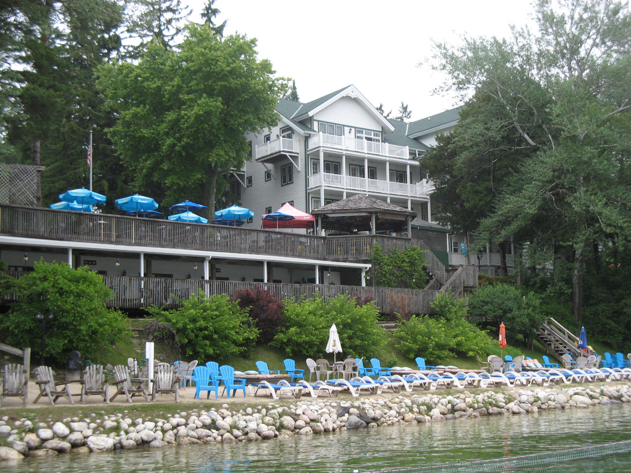
Our extra day in Elkhart Lake dawned rainy, driving the vacationers indoors or into town. The weather cleared by noon, so we walked into town for lunch, where I experienced the most delicious lean pastrami sandwich ever, with little sweet gherkins right on the sandwich! It turns out that some of the shops here don’t even open til Fourth of July, so this is still pre-season.image
image
Have I mentioned that we are now in Sheboygan County? Fun to say, and fun to spell!

6/21 – we bade farewell to resort life and walked out of foggy Elkhart Lake on Saturday morning. Five minutes past the edge of town, who should pull up but Jim, the nice man who picked us up on our way into town on Thursday! He and his wife were on their way back from the farmers market, and stopped to see if we needed a ride. What nice people! As our overall mileage today was pretty short, we thanked them for the kind offer, and walked on.

Before too long, we were at the trailhead for the northern Kettle Moraine segment of the Ice Age Trail. As we prepared to enter the forest, we came upon Betty and David, just emerging with their dogs, and swatting mosquitoes in a familiar fashion. They posed for a picture, as they are the first folks we’ve met actually using the trail.image
In the Small World department, Betty is a librarian!

The Kettle Moraine State forest is the hilliest section we’ve hiked so far, composed of rocks dumped by an ancient glacier. Due to all the rain, the rocks were slick and the going slow at times, but the hike was quiet and pretty. Here are some artsy shots, courtesy of Jim:imageimage
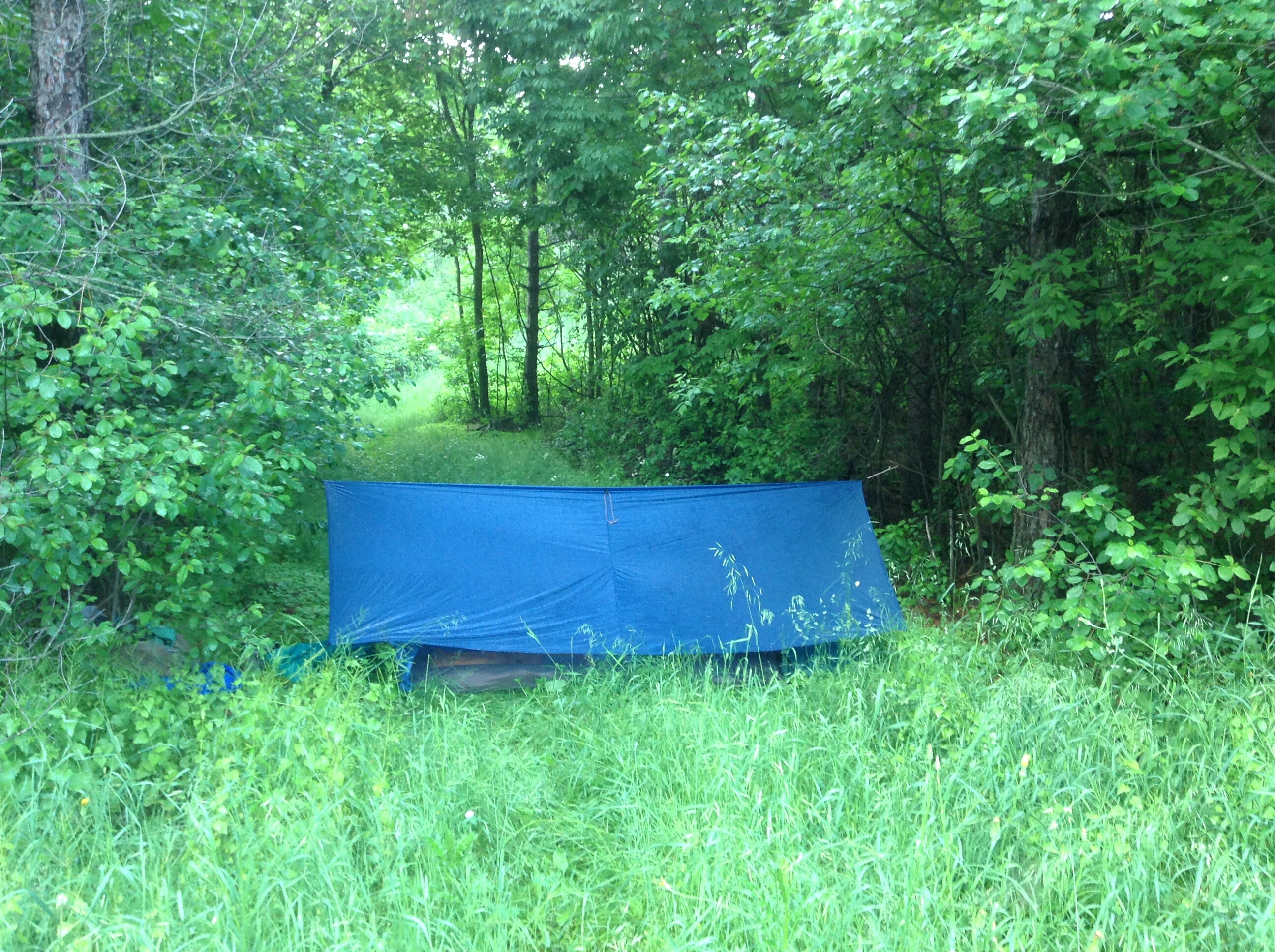
We completed our 10 miles for the day, and looked for a place to stealth camp for the night. Luckily, we got our tent and tarp up before the rain started again, and we were cozy and bug-free all night. This was the first time we were camping near trees that we could tie the tarp to, so we had a much bigger area to shelter our stuff. Have I mentioned that our bug tent has no tent poles? We hold it up with our two walking sticks and two lines. Ingenious little contraption!image