August 10 – This will be our last day on the West Highland Way.
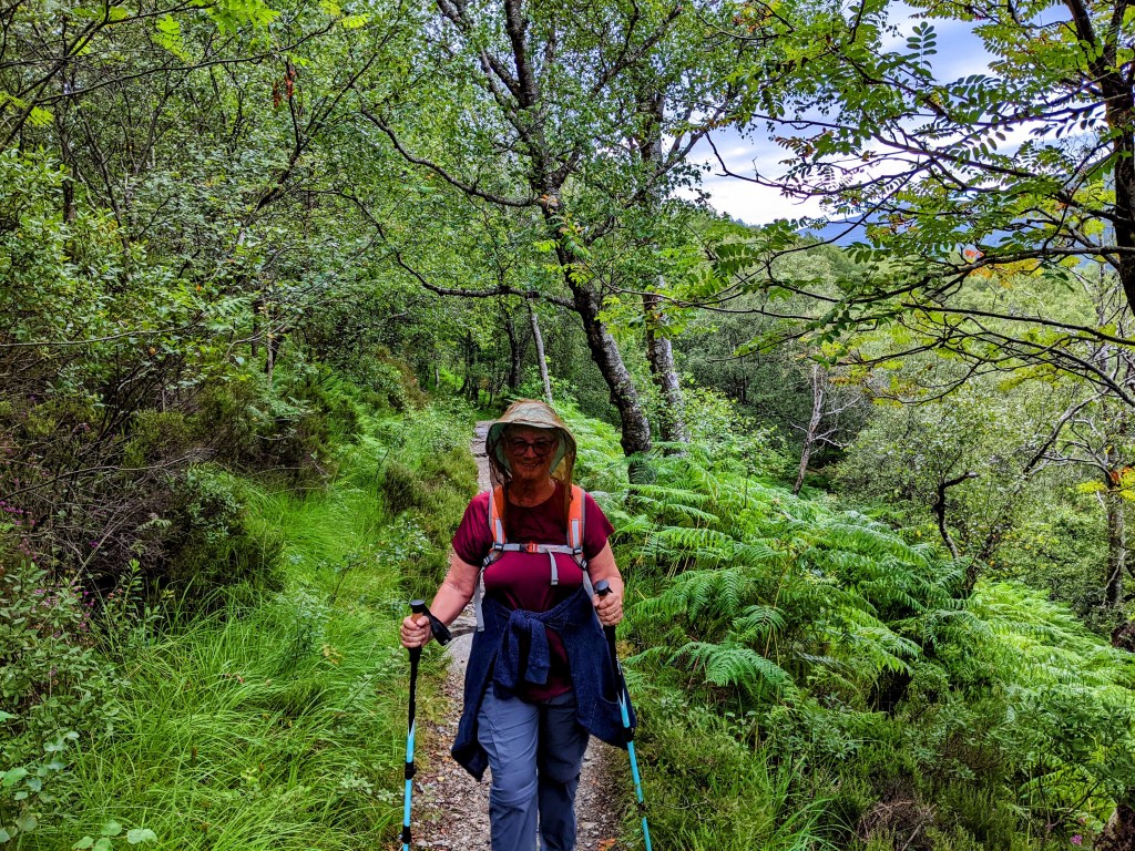
Another sunny day – this time with midges! We were warned to expect these little black biters throughout the hike, but today was the first time we encountered them in significant numbers. We applied our Smidge bug spray, then ended up putting on face nets. Haven’t worn these since Wisconsin!
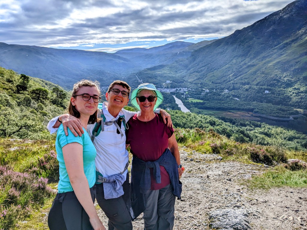
Leaving Kinlochleven We met the French lady and her daughter again
The last few miles of the day were spent walking through the outskirts of Fort William – the first town of appreciable size we’ve seen in weeks.
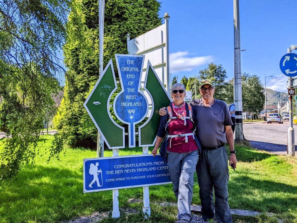
Here is the original end of the West Highland Way. As we were positioning ourselves for a selfie, who should arrive but Angela – our third time bumping into her. She took the pic for us.
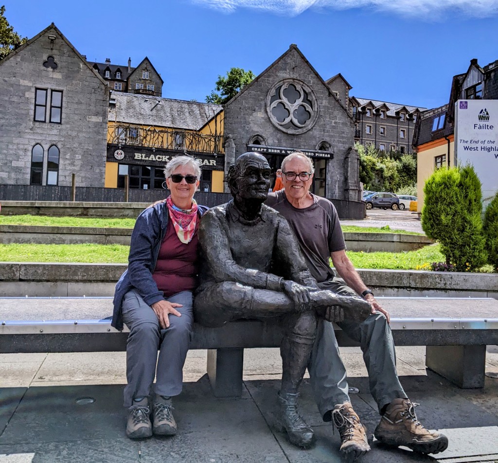
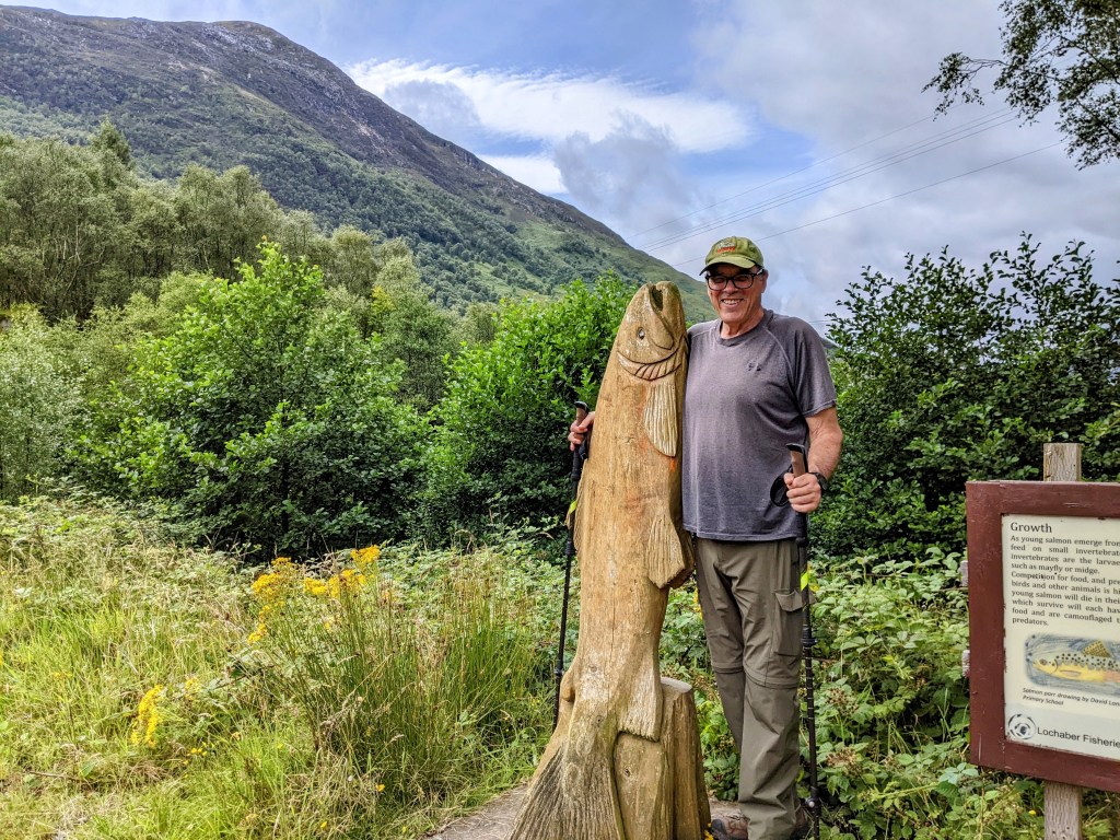
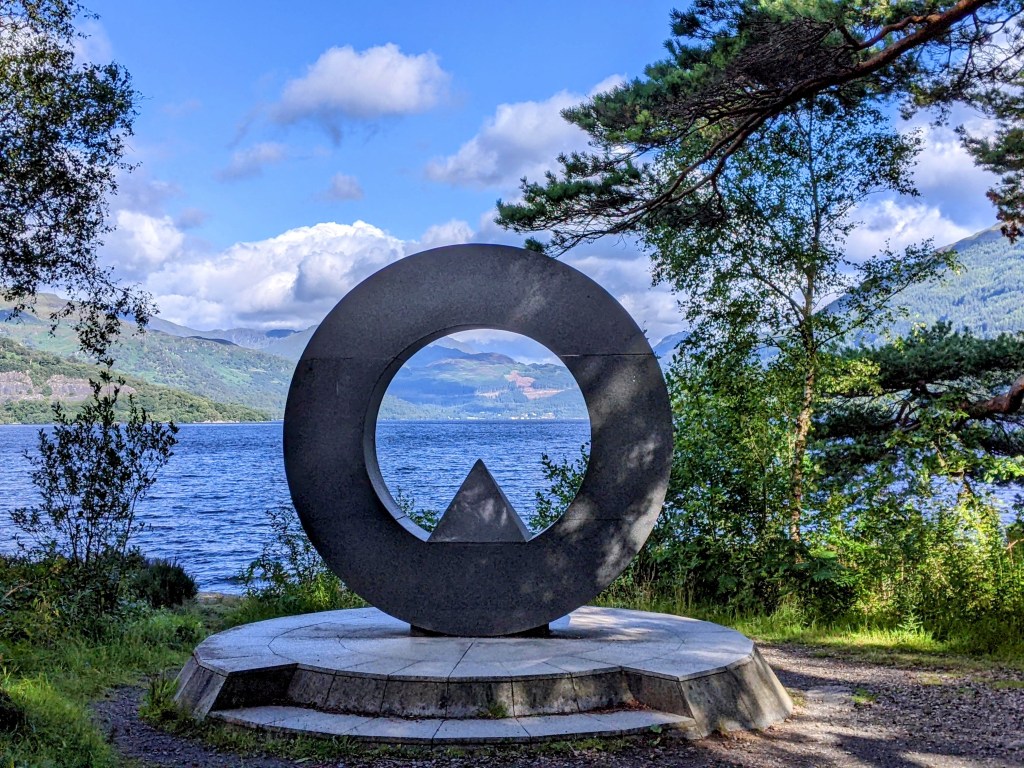
We walked into the center of town to find the statue that marks the current end of the trail.
The Man with Sore Feet
So now we are in Fort William, where we will remain for a few days rest. Our B and B room has a lovely view of Loch Linnhe that we can admire as we recline in our very comfy bed. Life is good.
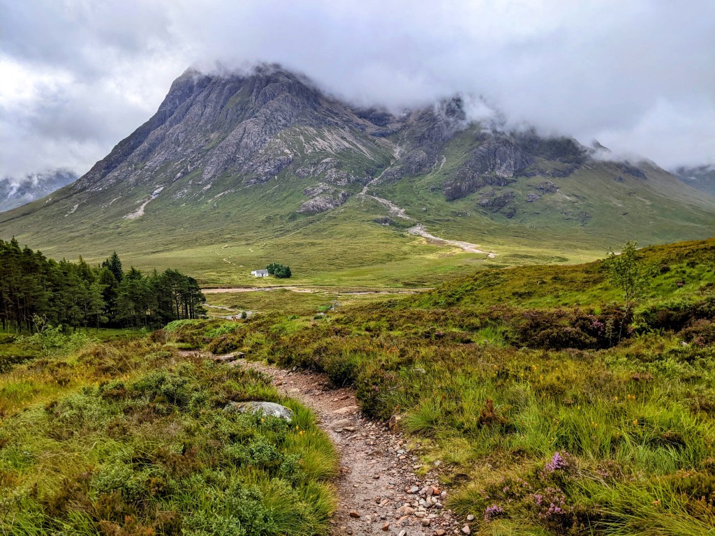
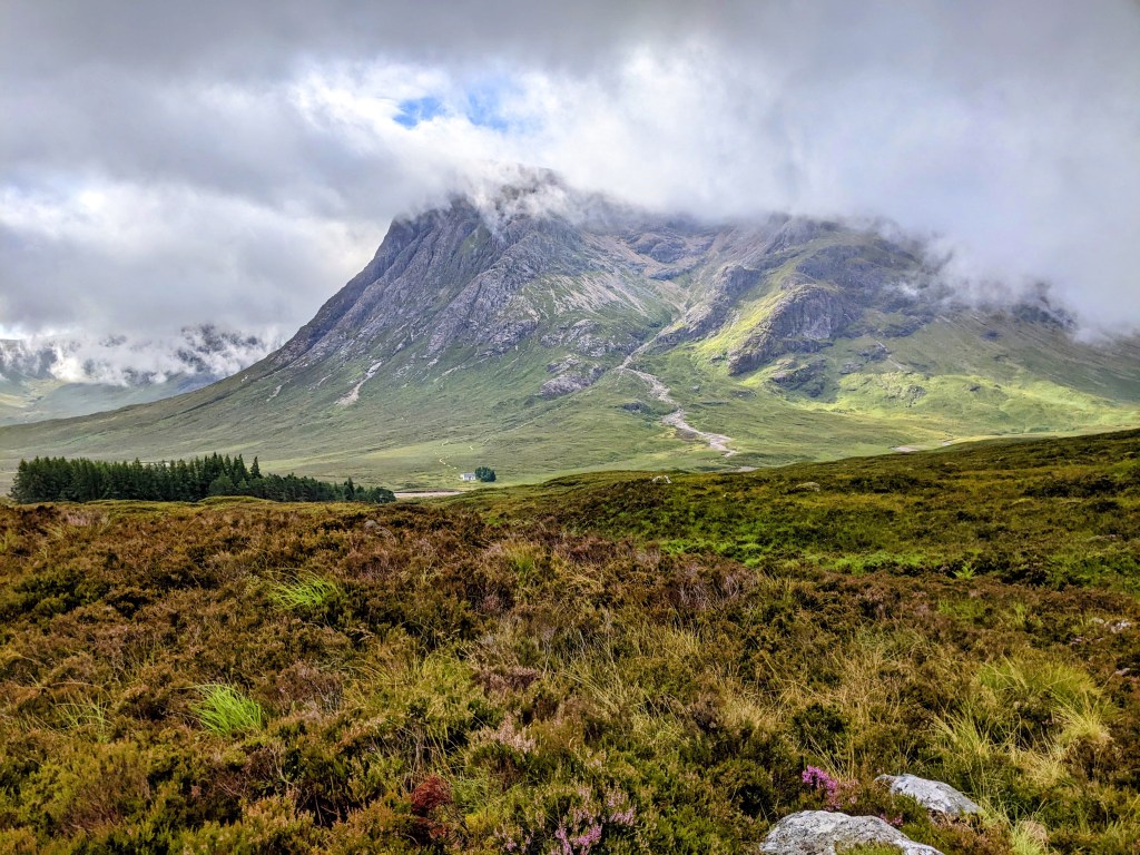
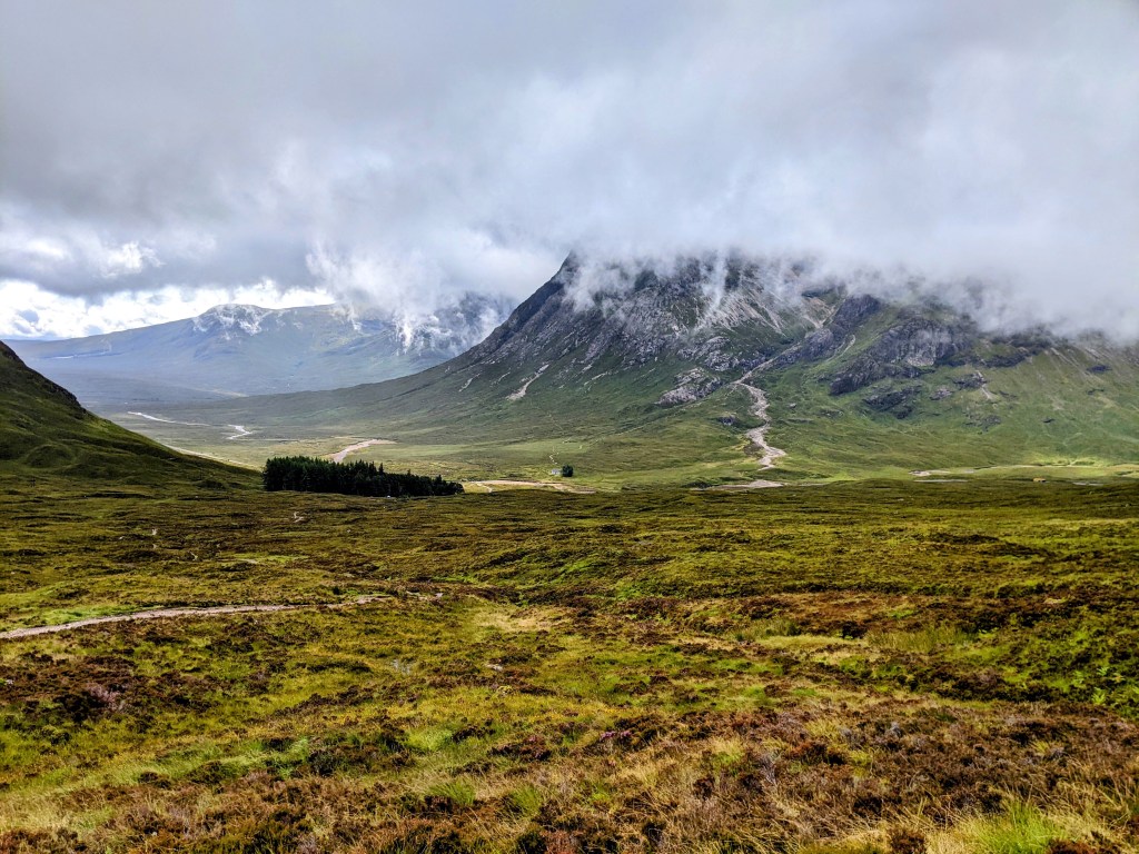
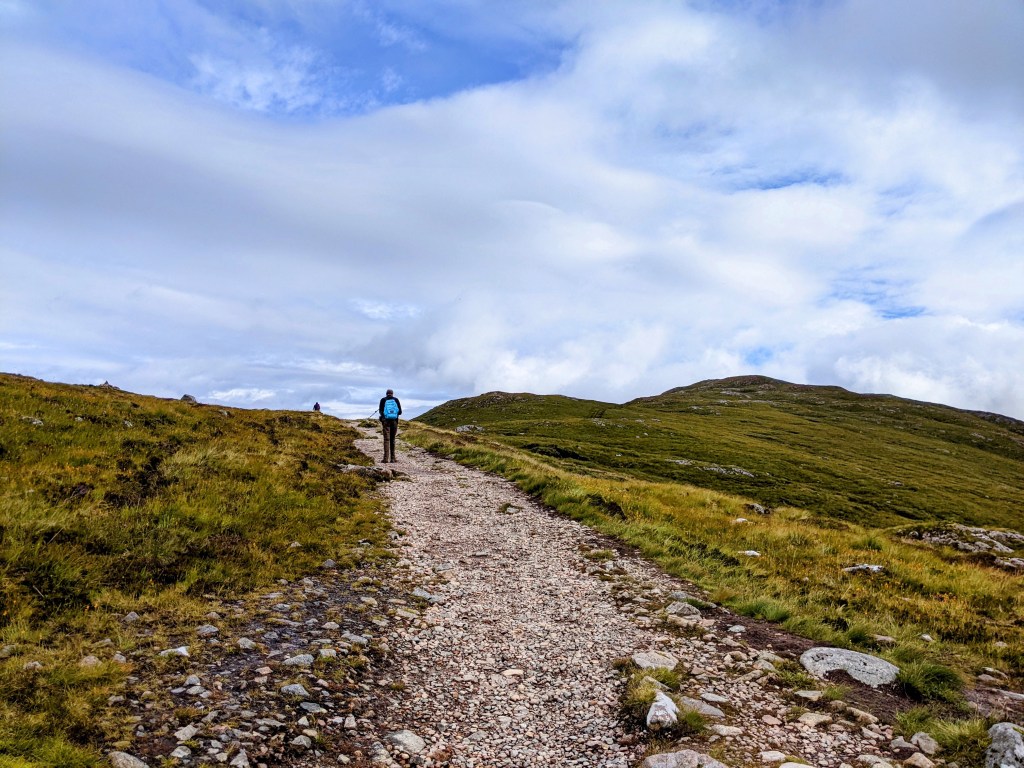
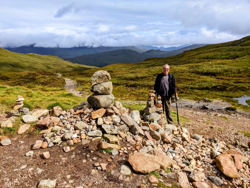
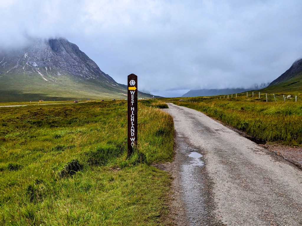
August 9 – For our penultimate day on this hike, we are climbing the Devil’s Staircase – the highest point on the trail. Our taxi driver Peter arrived promptly at 9am to take us back around the mountain to the point on the trail where the ascent begins.
The mountaintops are covered in cloud, but the day is bright and no rain is expected. I looked behind and took a picture of the little white house across the road.
As we climbed, the house got smaller…
And smaller…
And smaller still.
Can you still see the little house?
And we climbed higher and higher.
Until we got to the top!
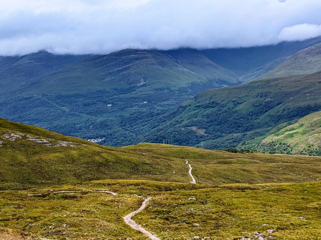
Then there was the long walk down the other side.
We met Angela again!
And a man with a dog coming up the other side.
We ate our lunch on a sunny rock, then walked down into Kinlochleven.
Kinlochleven depends on the salmon industry
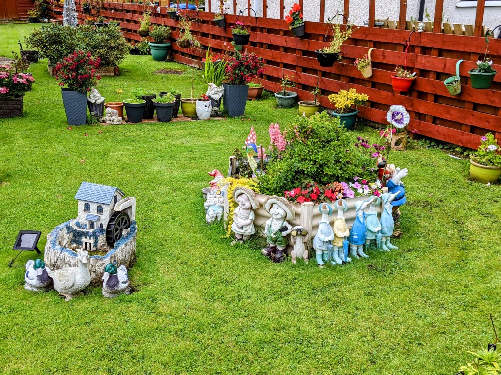
Approaching our hotel, we admired some front garden kitsch. We thought this yard was pretty cool:
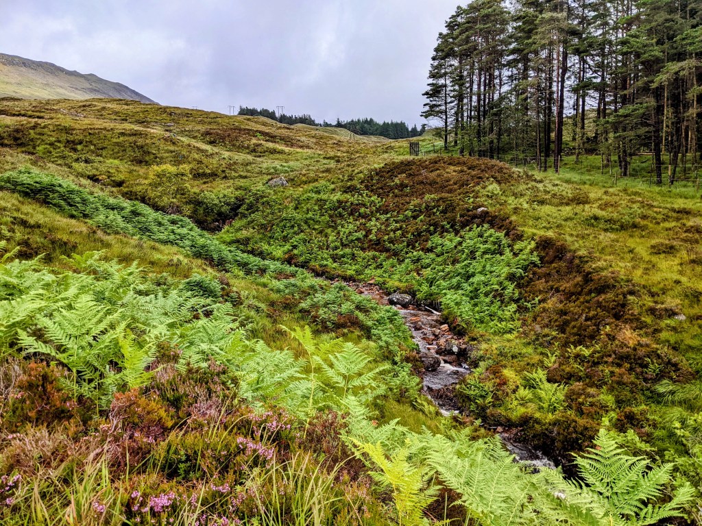
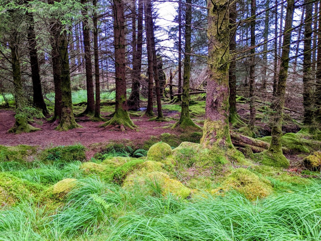
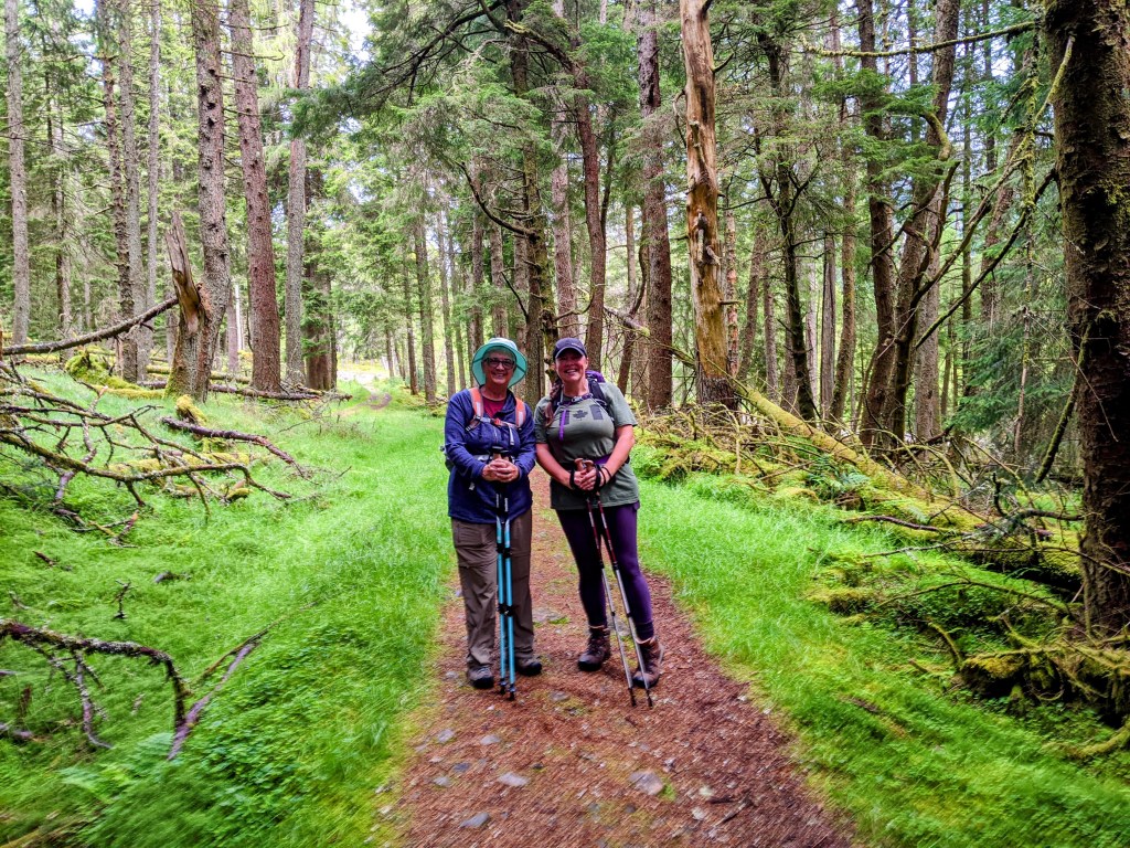
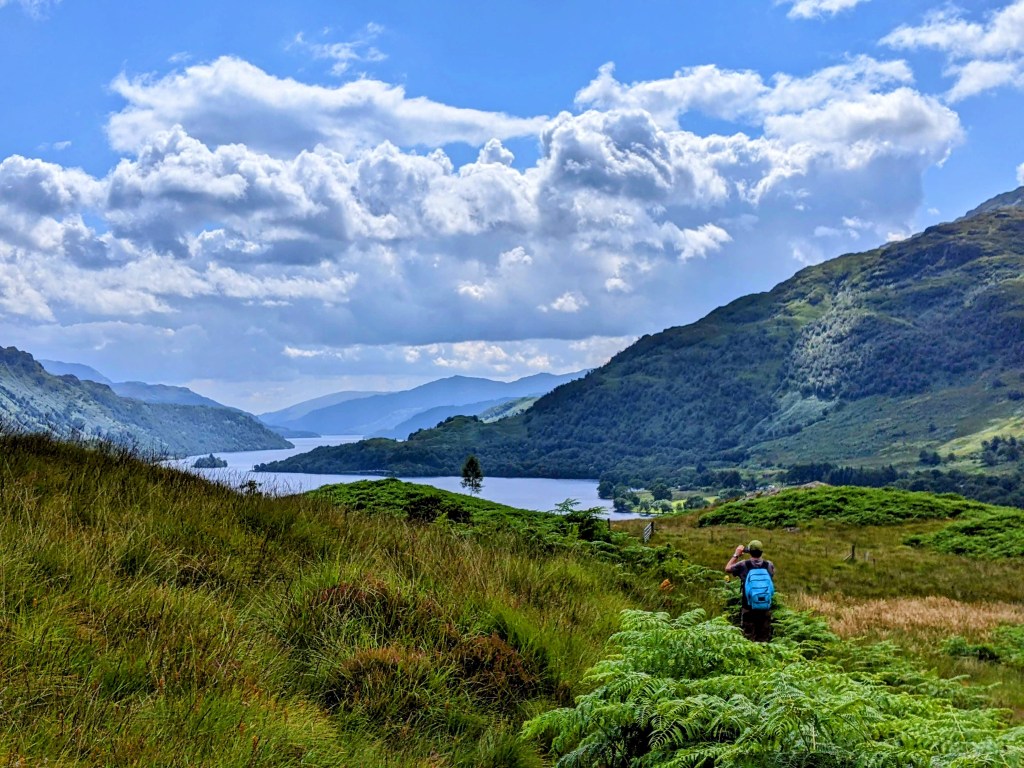
August 8 – This morning we met a Hungarian and two Dutch on our way out of town. More mossy woods, climbing up, up and up some more.
Which color foxglove do you prefer?Trees being felled here
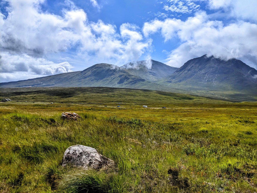
We are on our way to Kingshouse, which we think is a hotel, not a town.
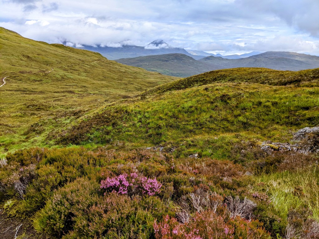
Once again, we walk past beautiful mountains topped with clouds, down a stony path or an old military road. It’s chilly today, with a steady wind.
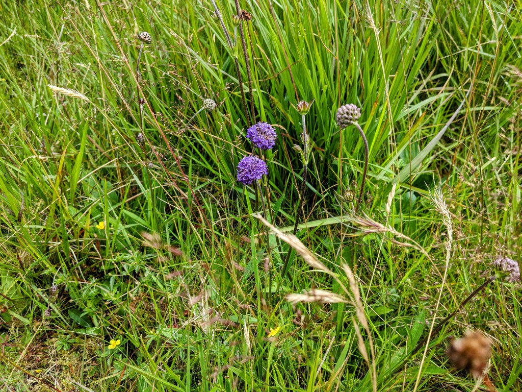
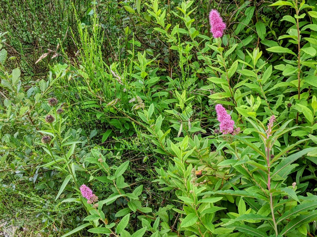
We are attracted to the micro-flowers that grow here.
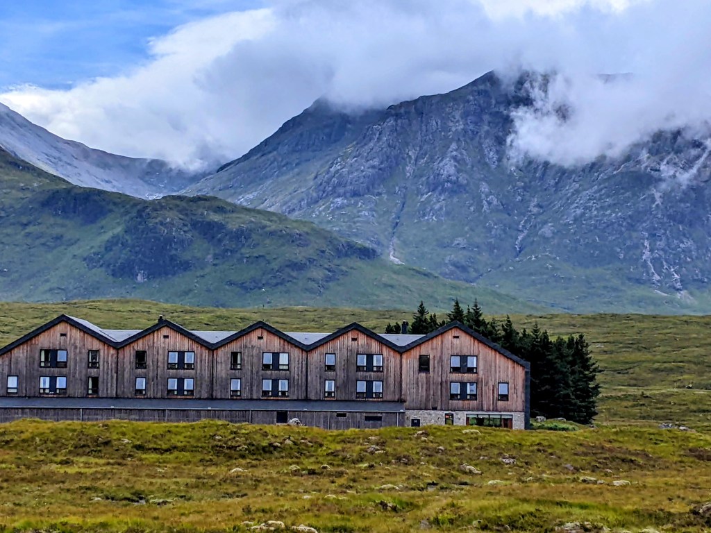
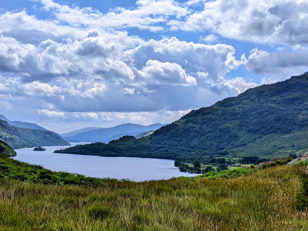
We see Kingshouse in the distance, surrounded by trees. Kingshouse was built as an inn in the 1750s – the only place to stop for miles around. Things haven’t changed very much!
Kingshouse in the distance Getting closerThere it is!
In addition to the hotel, there is a bunkhouse and places for tent camping. Even so, our tour people couldn’t find us a room at Kingshouse, so they arranged a taxi to pick us up here and take us to the next town.
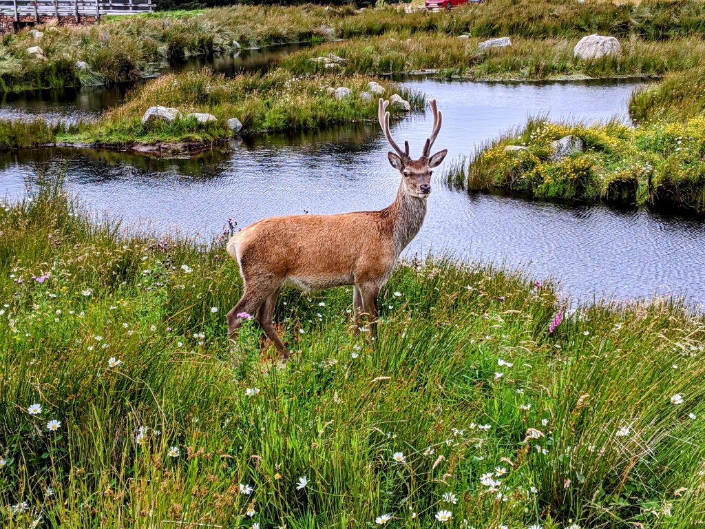
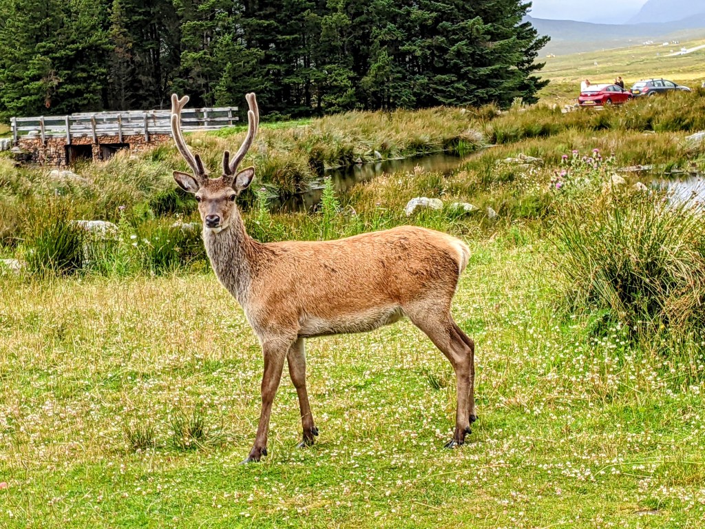
Standing majestically right in front of the hotel was a red stag – the first wildlife we’ve seen.
Don’t get too close, Jim!What a beauty
I’m sure he was tamed by being fed by tourists, but he is still a thrilling sight.
We shared a taxi with a young Canadian woman, Chloe, who works in London. She has been hiking with her little dog, but the rocks and gravel proved too much for little paws.
Our taxi driver Peter is a local man from Kinlochleven. He told us that he once drove Claire Foy and James McAvoy in this very cab, when they were here on location to shoot a film (My Son, not available in the U.S.) He stopped a few times so we could take pictures.
River CoeLoch Leven
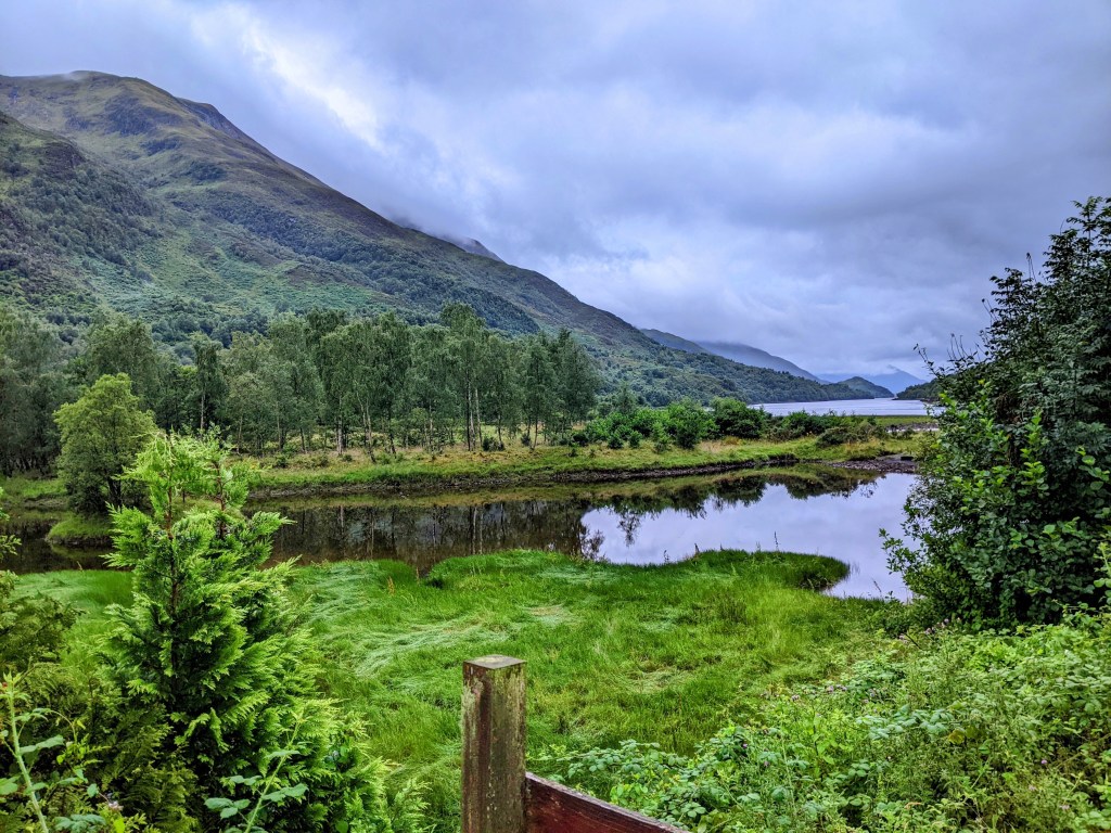
So here we are in Kinlochlevan, at the venerable old MacDonald Hotel.
A view from our hotel
Peter will return for us in the morning, to put us back on the trail.
August 7 – After yesterday’s exciting post, today’s may be less so.
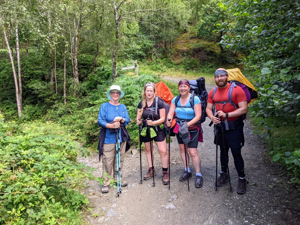
We met Angela, a lovely lady from Nova Scotia doing a solo hike, at our B and B. We set out together after breakfast, and walked together for a while.
Karen and AngelaThis is the softest moss I’ve ever seen
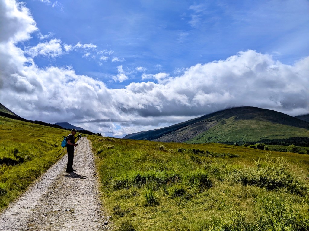
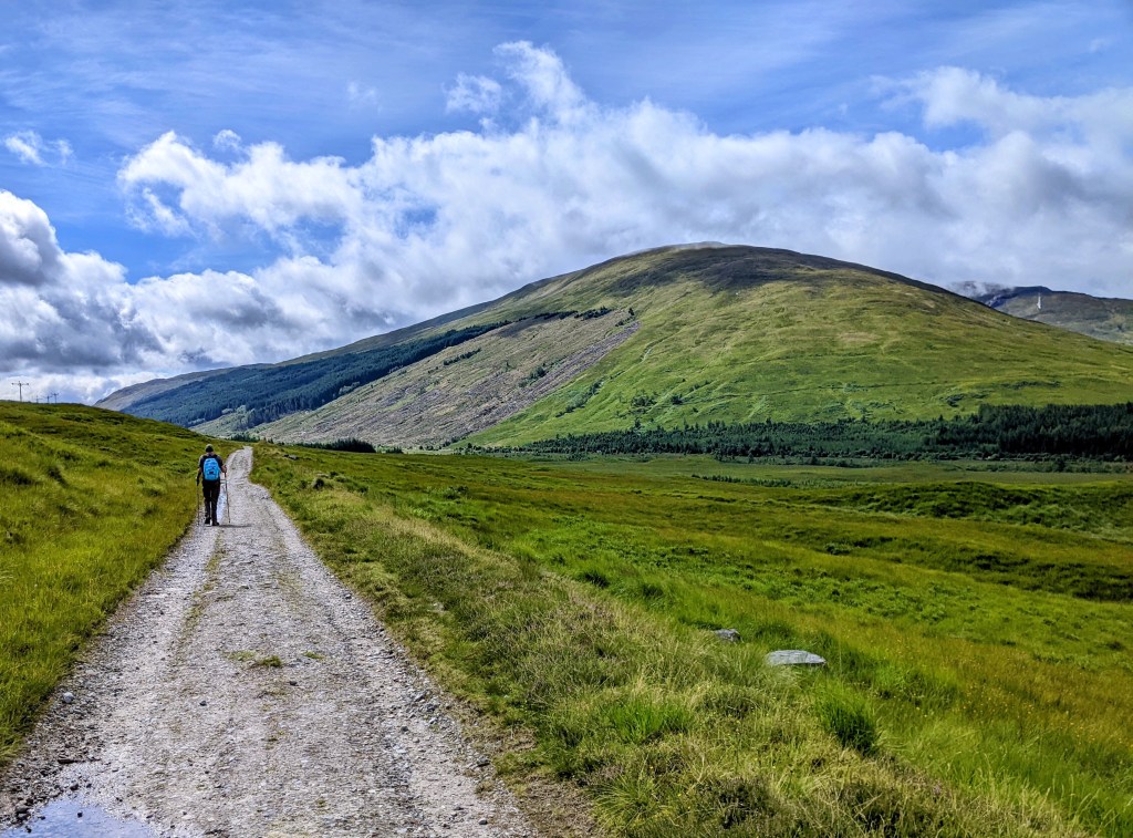
After a while the trail became an open track, with mountains to the left and mountains to the right. Our book says this is an old military road, used to keep the Jacobites in their place.
Clouds touching the mountaintops
And so it remained for the rest of the day.
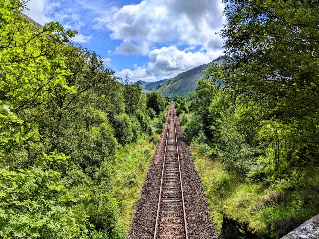
The road aheadThe road behindLook! Train tracks!
In the middle of nowhere was a solitary little house, with a sign saying it belonged to the Mc Dougals . They must really like their privacy.
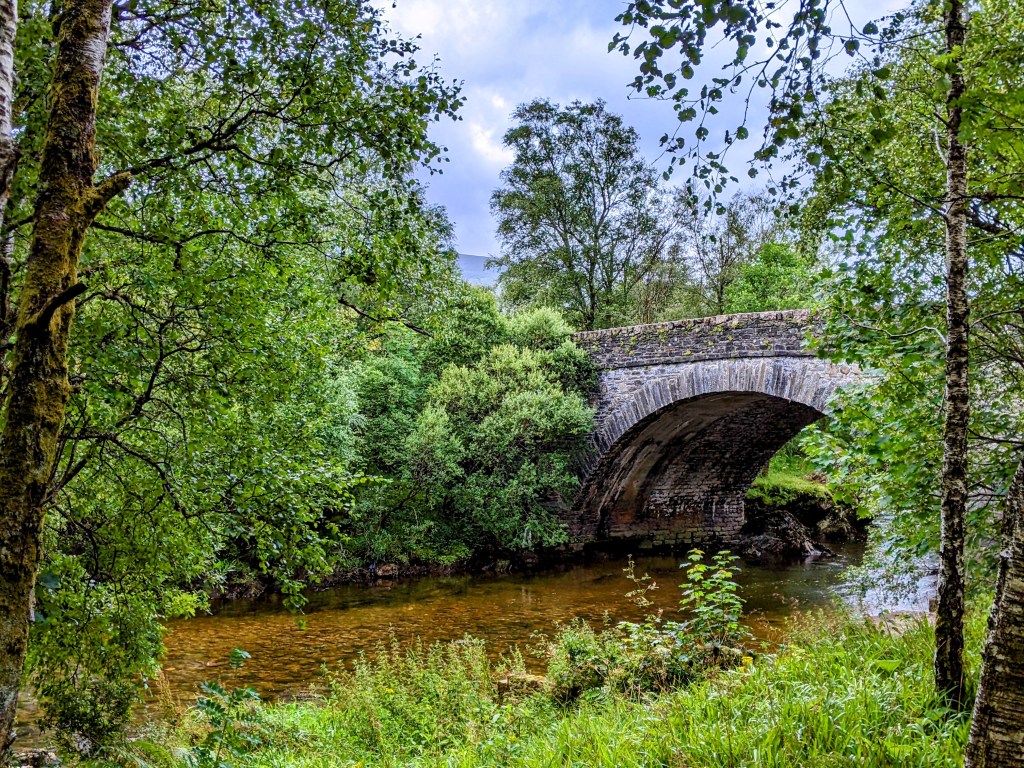
Before we knew it, we’d reached Bridge of Orchy, which was our stop for the day. There is a bridge here:
Bridge over the River Orchy
There is one hotel / restaurant here:
The restaurant was all booked for tonight, so we accepted our B and B host’s gracious offer to fix us dinner. She made pasta and veg and salad and apple pie for dessert, and rolled the feast into our room on a little cart. It was lovely – and no chips!
Our room also contained a drying closet, which is a much sought-after amenity here in the highlands. You hang your damp things in it, push a button, and four hours later, you have dry clothes! It also dries your boots, but makes the whole room smell like dirty feet. Better than squelching around all day in wet boots!
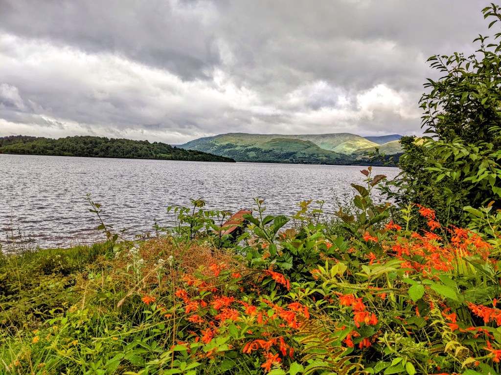
August 6 – I miss Loch Lomond. Now I’ll have to come up with a new song to hum as we walk along.
Tired of mountains and trees? Today we have some history! Also, mountains and trees…
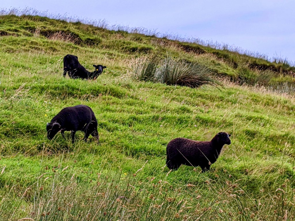
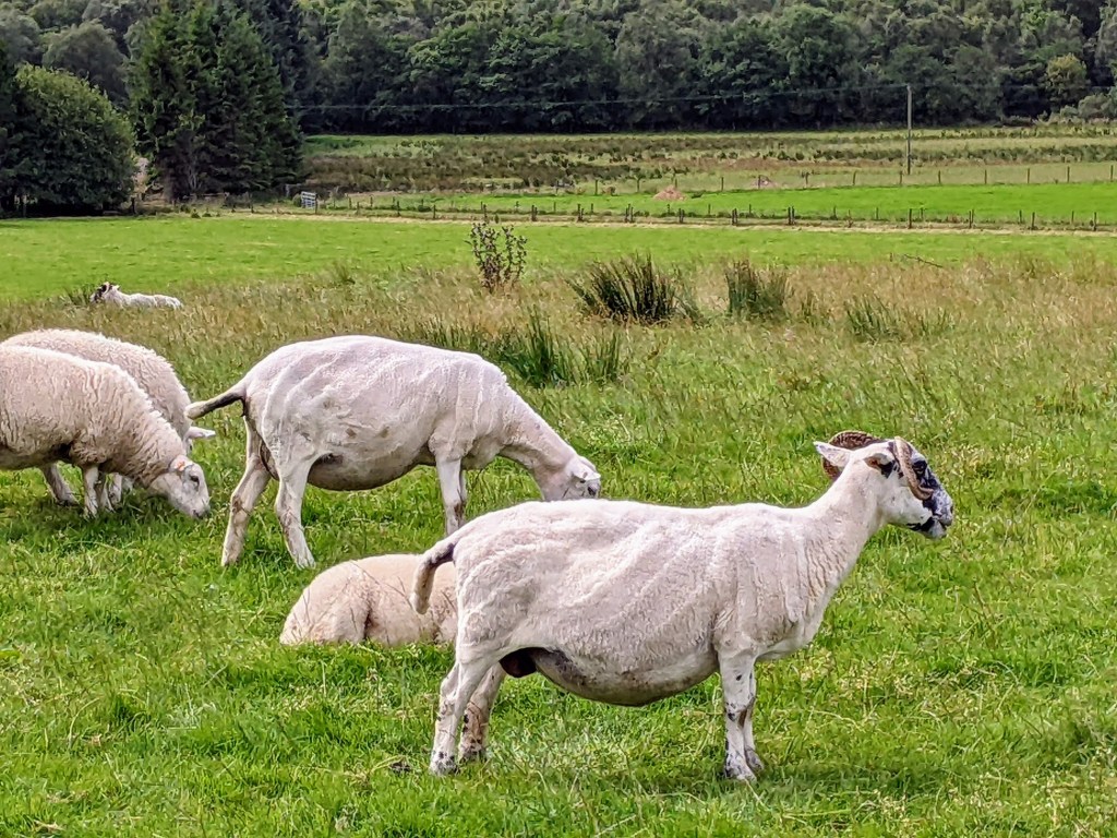
Mountains, trees, and sheep!
King Robert the First of Scotland (Robert the Bruce) fought the battle of Bannockburn in 1314. On the night before the battle, he prayed to St. Fillan, a monk from the early 700s. When Robert won the battle, he dedicated a new priory to St. Fillan, the ruins of which can be seen below.
The ruins of St. Fillan’s Priory from the 14th century
The Fillan River was known for healing the mentally ill when monks dunked them in this deep pool. Men were dunked in this section, and women were dunked a little further upstream. St. Fillan is the patron saint of the mentally ill.
The Holy PoolOld bridge crossing over the River Fillan
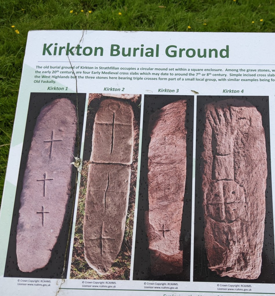
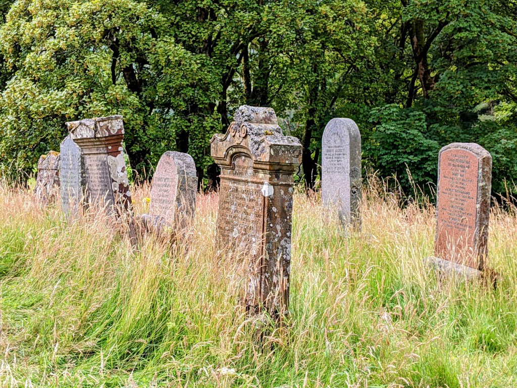
A little further on is an old cemetery, containing some memorial stones from the 8th century. One of the stones bears the image of a forearm – a very unusual thing to carve on a memorial stone. Except…. St. Fillan was known to have a luminous forearm, that he used as a lantern so that he could continue reading scripture in the dark! Coincidence? You decide!
Kirkton family graveyard containing some 8th century memorial stones
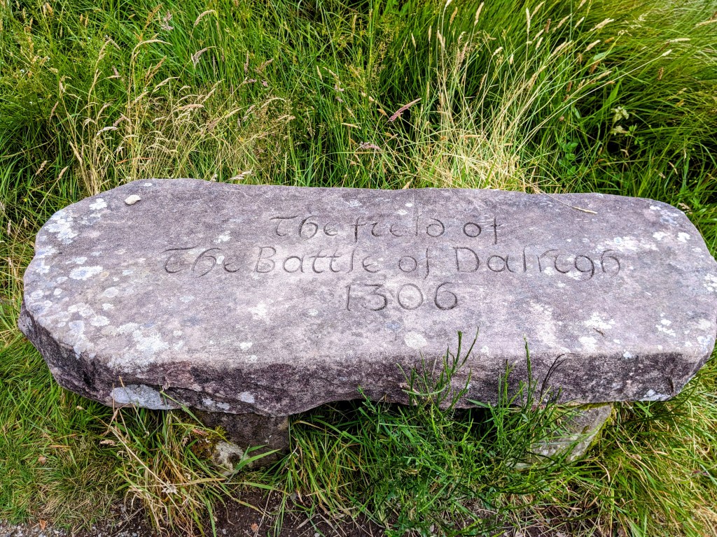
Skipping forward to Robert the Bruce again, when his army lost the battle at Dalrigh right here in 1306, he disgustedly threw all his army’s swords into this small lake, known as the Lochen of the Lost Sword.
Lochen of the Lost SwordField of the Battle of Dalrigh
Wow! That’s a lot of history for one day’s walk. So, here are some more sheep and goats.
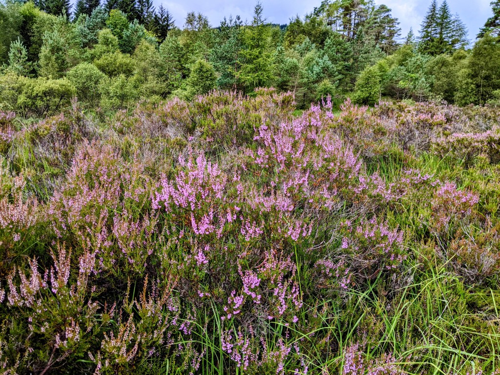
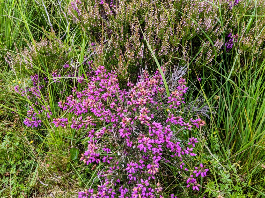
And flowers:
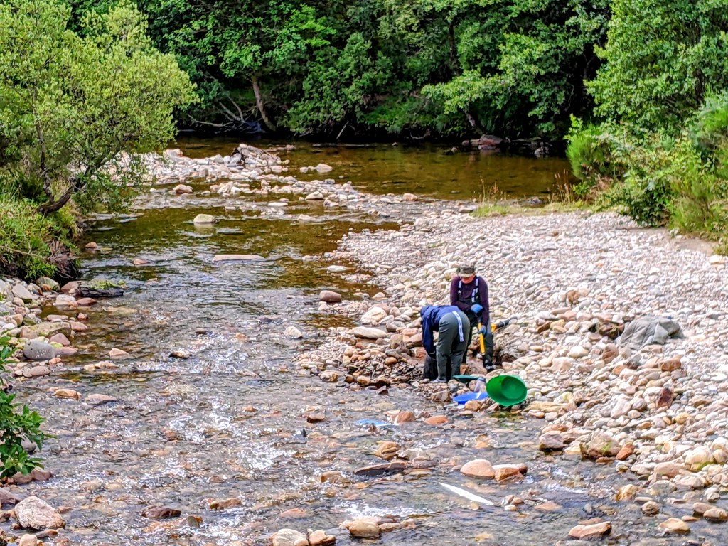
We approach the town of Tyndrum, where they used to mine lead.
There is a sign here inviting people to pan for gold, and we stood and watched for a while as some fellows panned away.
So now we are cozy in our B and B, after another hearty meal of haddock and chips (what we would call steak fries). I’m beginning to weary of the chips, which are served with every meal, but the fish is very good.
The places we’ve eaten in Scotland are all very solicitous of dietary restrictions / food allergies, and offer lots of vegetarian, vegan and gluten free choices. On our menu tonight was ‘tofush’ for those who desire a plant based alternative to fish.
Out the window of the restaurant were a row of bird feeders, set up for the entertainment of those eating within.
August 4 – What do we do on our rest day? We walk around, of course!
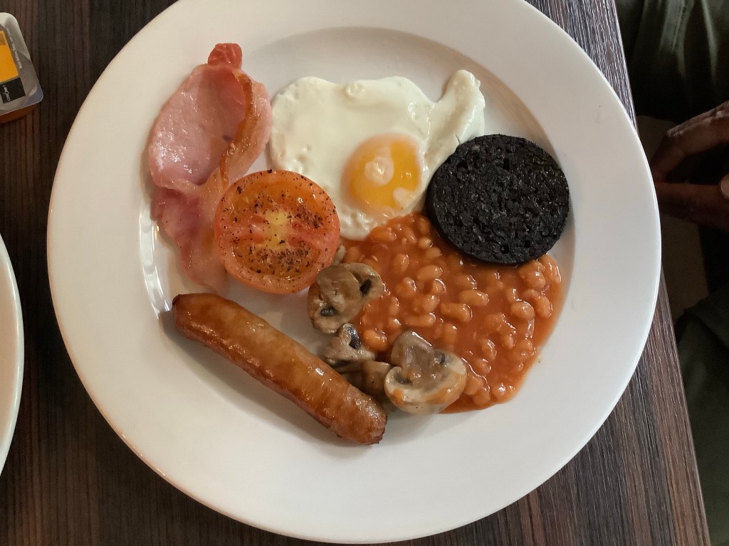
Today was our first opportunity to order a full Scottish breakfast, which is very much like a full English – fried egg, tomato, farm sausage, beans, black pudding (blood sausage), mushrooms and bacon (looks like ham). We pronounced it excellent.
It’s a beautiful sunny morning, but a chilly 50 degrees, so we put on our fleece jackets and set off to see the first part of the hike to Inverarnan.
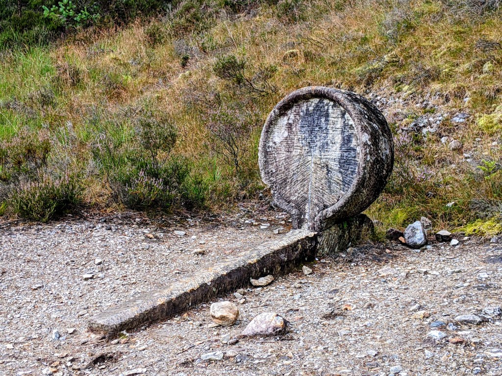
Not sure what this is, but isn’t it interesting?A reminder of how far we have to go
We met a Ukrainian who was spraying foliage along the trail. We asked what he was spraying for, and he told us that he was killing rhododendrons, which are very bad. We pressed: the shrubs with pink flowers in the spring? Yes – very bad. Huh!
Spraying the rhododendrons
We encountered a family – mother, son and girlfriend of son – having a jolly walk. What a good son!
August 5 – So here is our conundrum. The guidebooks all agree that the next leg of our journey is the hardest day of the Way. It is over 14 miles of rugged walk with lots of big hills. Jim is under strict orders not to let me die on this vacation. There is no bus, no Uber, no way to get north of here as the road ceases to exist on this (east) side of the Loch. There are no bridges or ferries that can get us across the Loch to civilization. What to do?
Jim, who always says there is no corner so sharp that it cannot be rounded, found a solution, of course. For a princely sum, we hired a taxi to take us 30 miles all the way back to a town at the southern tip of Loch Lomond. From there, we caught a bus heading north on the west side of the Loch, and in 45 minutes, presto: Inverarnan (In-ver-ARR-nun).
Once again, not a town, just a hotel and a campsite. Once again, we were given a cabin, very cozy and nice.
View from our cabin
We spent the rest of the day walking south back down the West Highland Way to see a few miles of what we missed on the trail today.
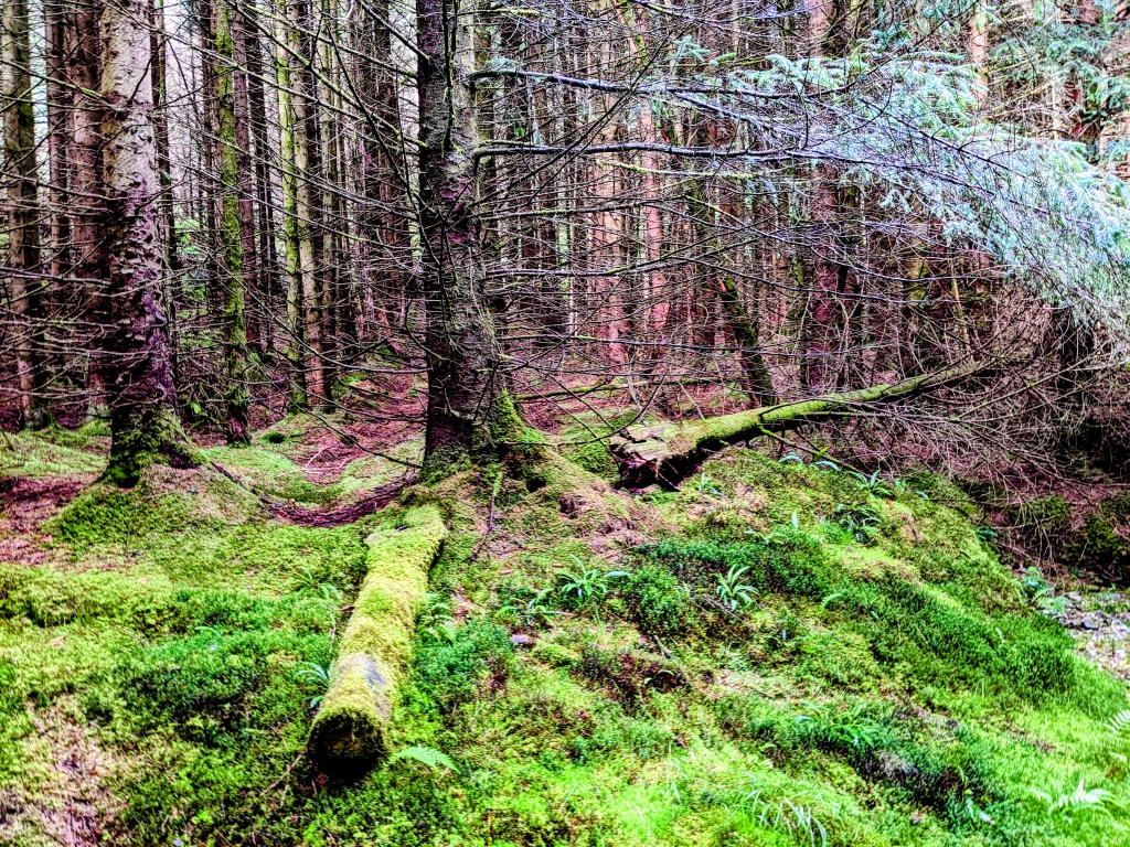
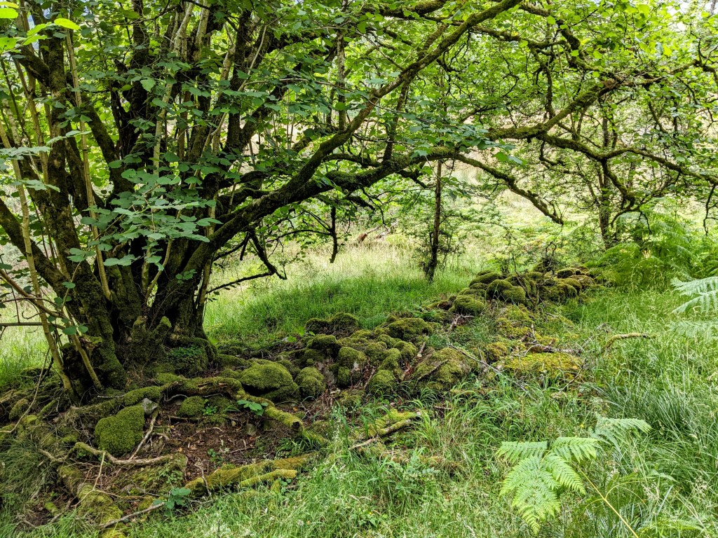
A mossy old tree
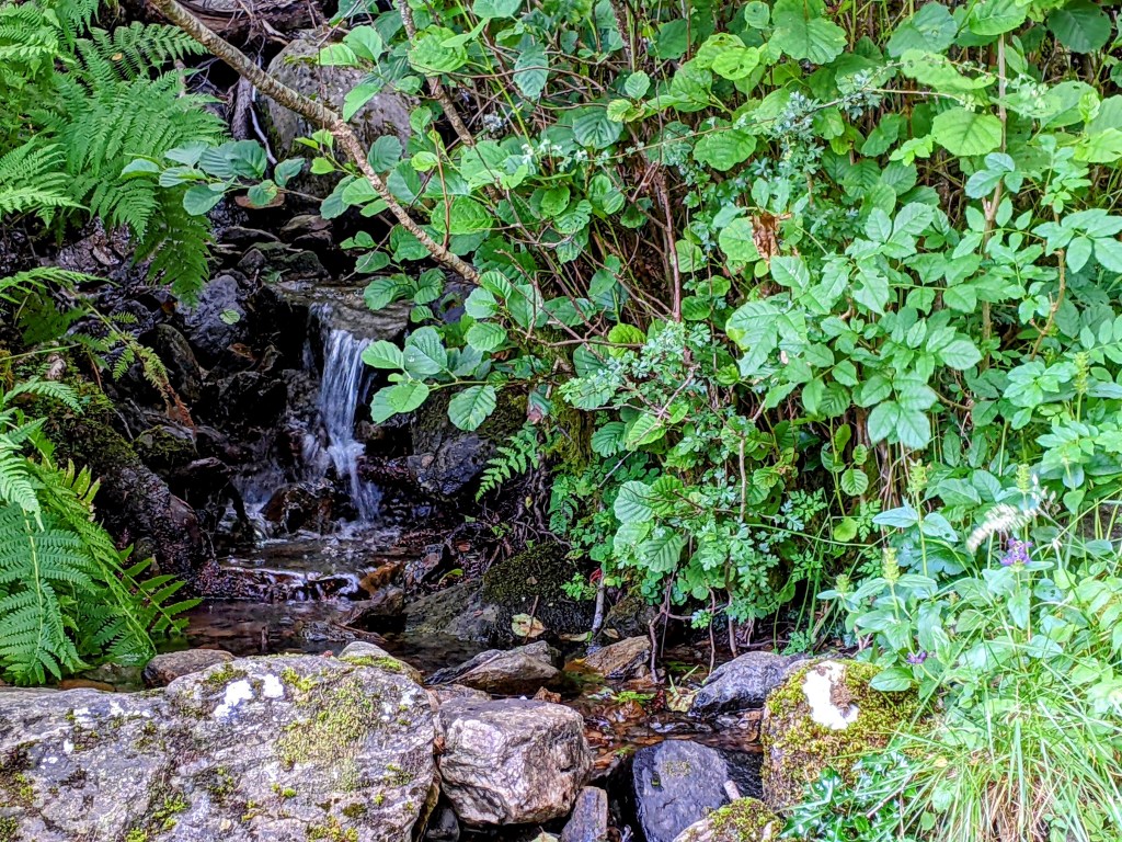
Walking the trail, which is a stream. Lots of jumping on rocks to keep our boots semi-dry.
August 3 – After a hearty breakfast, we put Balmaha in our rearview, and walked on. Once again, it’s gray but not raining, temperature in the 50s.
Because most hikers do not stop overnight in Balmaha, the trail was quiet this morning, as we walked along the shore of Loch Lomond.
Ducks!
In a little while, the sun came out.
Even when the path moved close to the road, we could still hear the sounds of the nearby Loch.
A house flying the Scottish flag – St. Andrews Cross
We met a man from Bangalore, taking a holiday hike before starting his new job in Ireland. Lots of young people are hiking with big packs on their backs, and some are just out for the day.
Jim climbing some stone steps – I’m not far behind
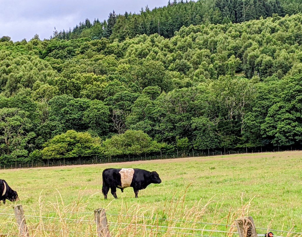
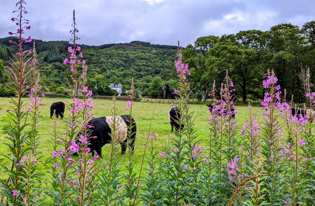
We saw some Oreo cows – they are actually called belted Galloway cows. They looked content.
Belted Galloways
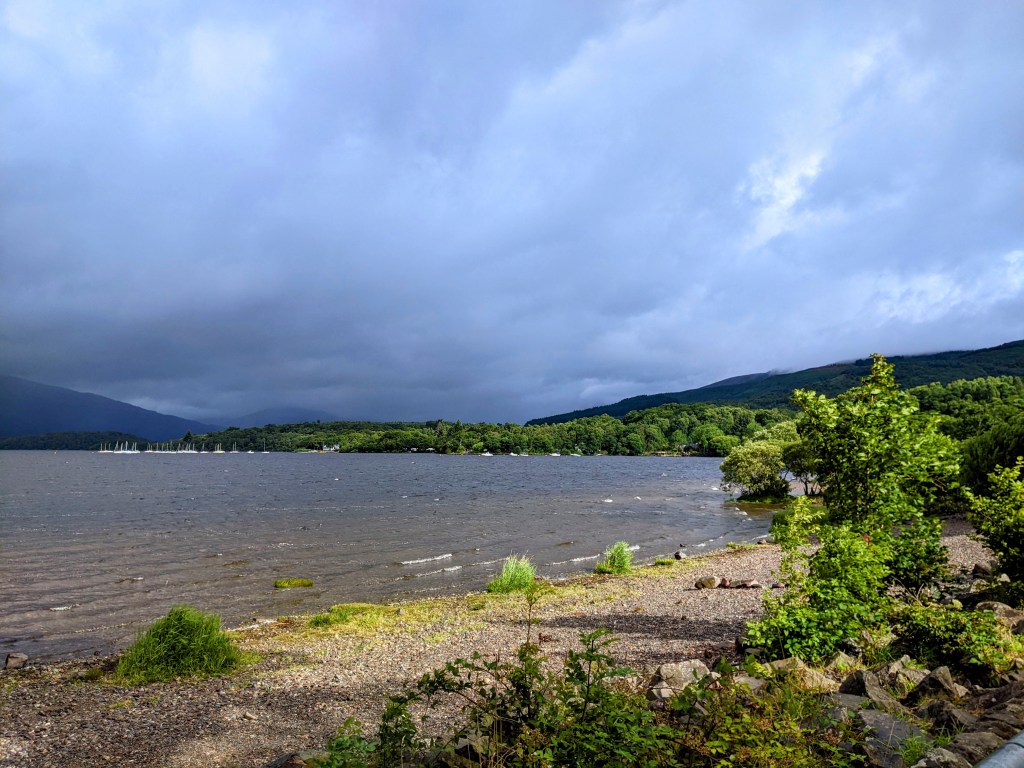
So we followed the up and down path throughout the day, ending up in Rowardennan (Row-ar-DEN-an) at the edge of the Loch.
There isn’t a town, just a hotel and a youth hostel. People come here to enjoy the Loch, or to climb Ben Lomond, a huge mountain that is, thankfully, not part of our plans. Rowardennan is literally the end of the road – there is no way to proceed north from here except on foot.
View of the Loch from Rowardennan Hotel
We hear Polish, German, French and languages we can’t decipher at dinner. I order steak and ale pie, which is neither steak nor pie, but chunks of pot roast in brown gravy served with mash (potatoes) and veg.
Bird that kept us company Our hotel room is actually a little cabin!
We have walked three days in a row, and now deserve a day of rest, don’t you think? This will be a lovely place to chill out.
July 31 – This morning we packed our stuff and bid adieu to our tiny room in Glasgow. It is time to hop on the bus and move on to the town where we will begin our hike tomorrow.
Before leaving home, I looked up Scottish Gaelic for Dummies, and learned several things. First, unlike Irish Gaelic (GAY-lick), in Scotland it’s pronounced GAL-lick. Second, I have no hope of mastering the rules of this confounding language. Since arriving here, we’ve found it challenging enough to try to understand folks when they are speaking English!
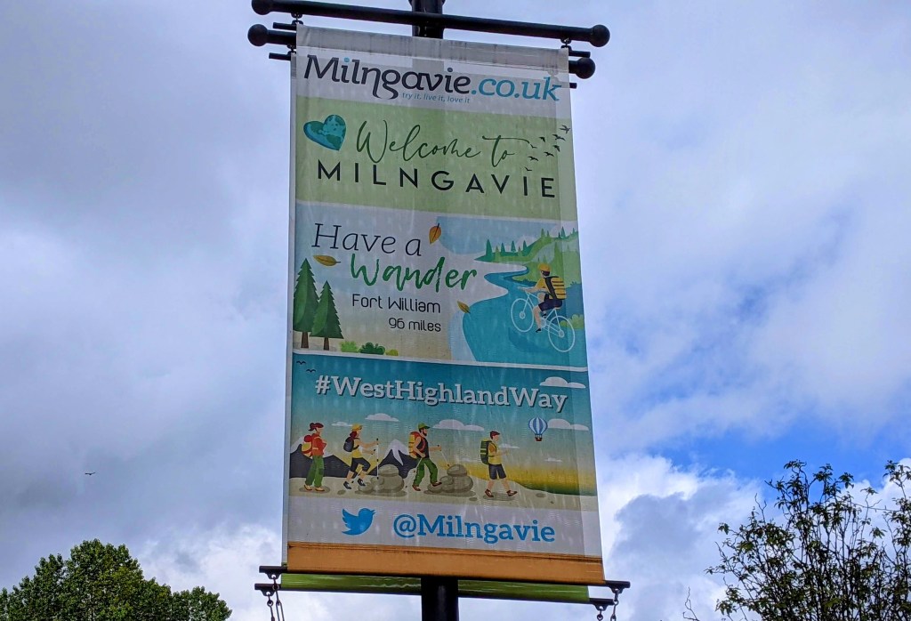
Our guidebook cautioned that we need to learn to pronounce the name of this town if we have any hope of getting there successfully. Any guesses on which letters to pronounce and which to skip over? I won’t keep you in suspense. Milngavie is Mell-GUY. Who needs all those extra vowels and consonants? And just in case, we started in ED-in-burra, then visited GLAZ-go. Now you’re all caught up.
We checked into our lovely hotel (windows! coffee maker!), set down our packs, and went out to explore the town.
I liked the speed limit signs for the residential areas – twenty is plenty!
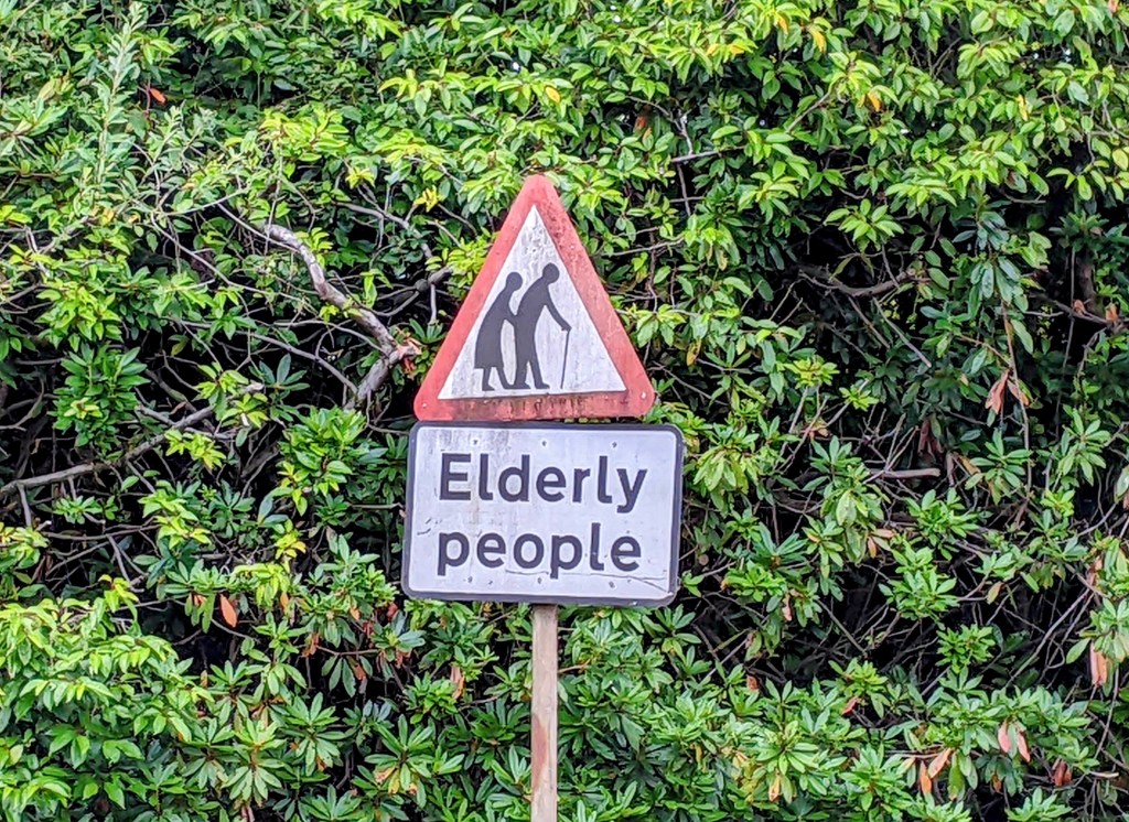
I liked that they have signs for people like us:
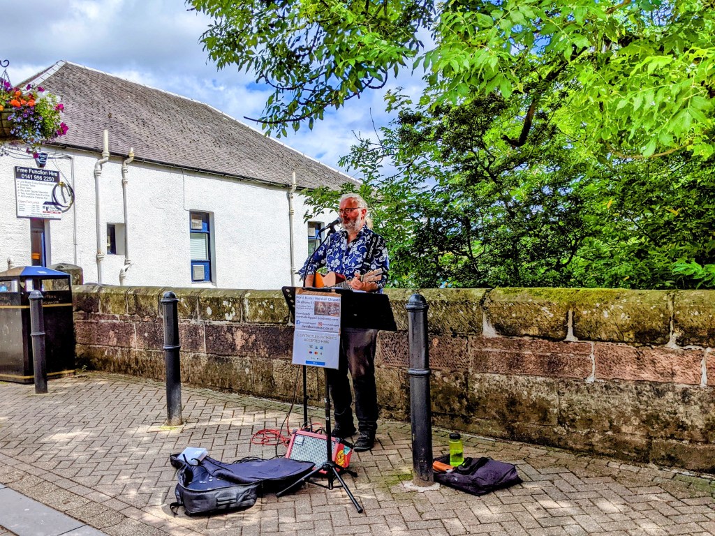
There was a shopping street for pedestrians, with lots of folks out enjoying the afternoon sunshine. There was a busker singing Leonard Cohen’s Hallelujah, and a carved bench to bring a tear to your eye.
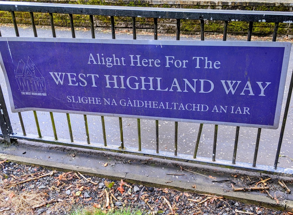
Mostly, there were signs for the West Highland Way.
We had a scrumptious three course supper at the local restaurant (I had prawns, not shrimp) and rolled back to our room to figure out what to carry in our daypacks and what to send ahead in our big packs. Will it be too chilly in the morning for my sweatshirt? Should I bring my fleece jacket? No rain is forecast until late afternoon – should we chance not carrying raincoats? Momentous decisions before our first day – you’d think we’d never done this before!
August 1 – 12 miles planned. We were up at 5:30 and and anxious to start our hike, but the restaurant didn’t open for another hour. It was 39 degrees, although the sun had been up for an hour. Guess I’m wearing my fleece!
The trail started in the middle of Milngavie, descending to a shady path along a babbling brook.
There were several sculptures topped with polished rocks – when we asked one of the local dog walkers what they were for, she said the town had installed them because this area of the Way was so boring. Not so!
Polished rock sculptures surrounded by pretty ferns
Then things became more interesting:
The West Highland Way trail marker is supposed to be a thistle. You really have to use your imagination:
Trail marker thistle Real thistle growling abundantly by the trail side
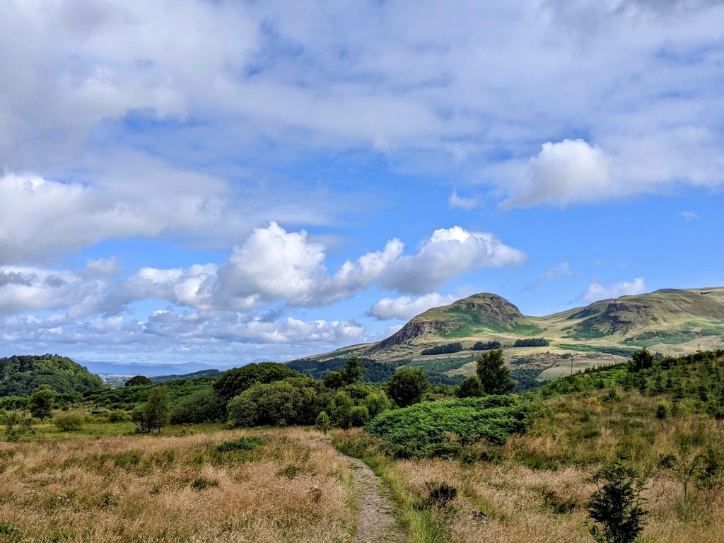
There’s a mountain in the distance. I wonder when we’ll reach it?
We talked to lots of fellow hikers as they passed us by – two couples from Holland, a group of 10 from Ottawa, a couple from Paris and several who came from different parts of Scotland. Lots of young girls hiking on their own, including a Muslim woman fully covered and in a headscarf.
The first hikers to pass us today were from Liverpool
Pretty flowers:
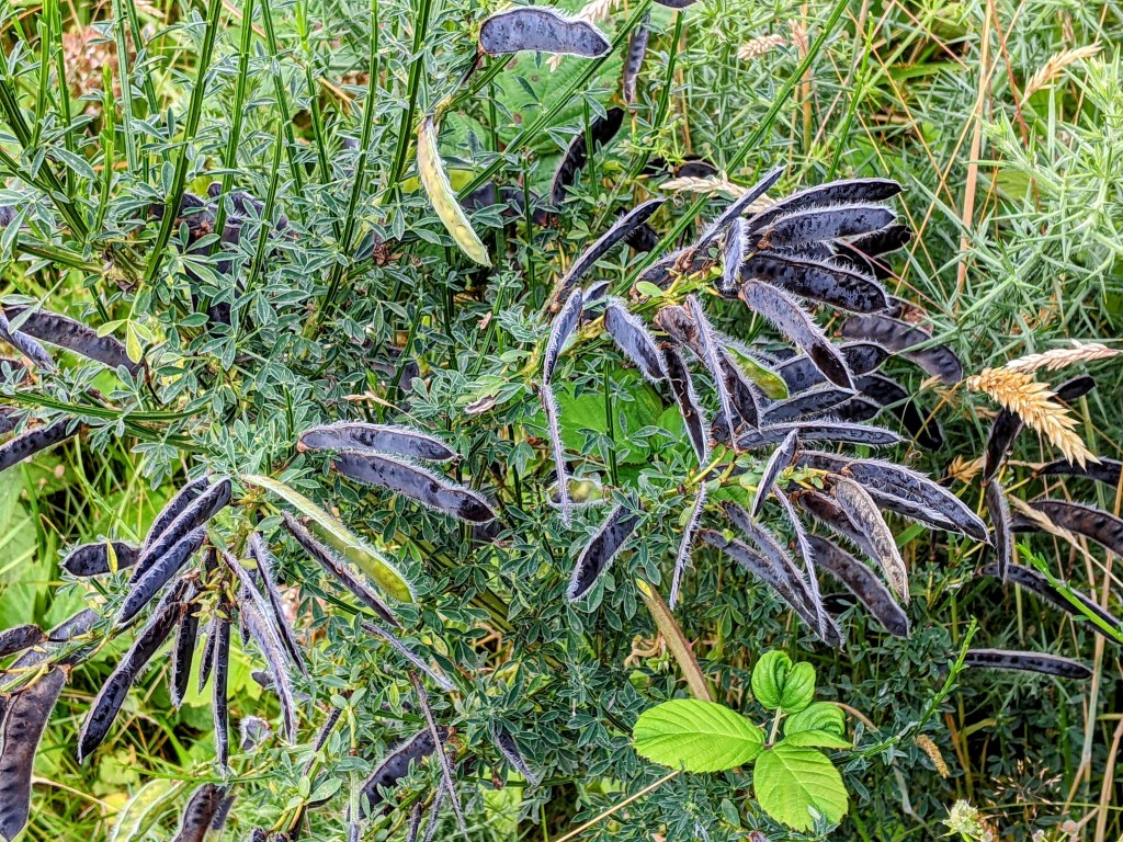
Never saw this plant before:
Unusual plant with shiny black podsA bit of humor at the 7 mile mark
As we approached Drymen, we saw a small waterfall, and some interesting signs.
So now we’ve arrived in Drymen (pronounced DREM-men, rhymes with lemon) at Kip in the Kirk, a B and B that used to be a church.
We’re clean and warm, with bellies full of good supper. Our total mileage today was 13.5. The rain is pouring down outside our window, and the weather forecast is for rain for the rest of the week. This may be my last happy post!